The Landsat satellite record stretches from 1972 to the present. This gallery includes all Landsat images published on the Earth Observatory, Visible Earth, and Landsat Science web sites from all seven Landsat satellites (Landsats 1-8, Landsat 6 failed to achieve orbit). All of the images are in the public domain and may be used with attribution. The correct attribution for imagery obtained from this site is:
“Landsat imagery courtesy of NASA Goddard Space Flight Center and U.S. Geological Survey” or “USGS/NASA Landsat”
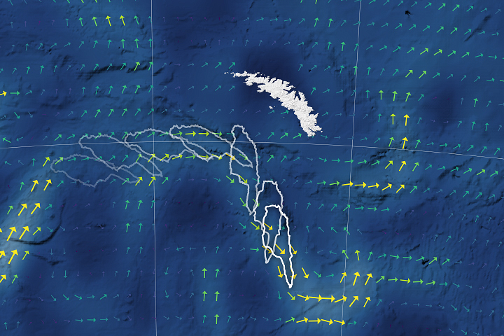
Iceberg Goes With the Flow Read more
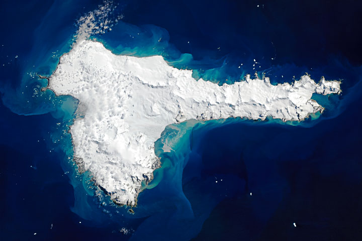
Elephant Island Read more
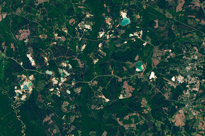
Kaolin Capital of the World Read more
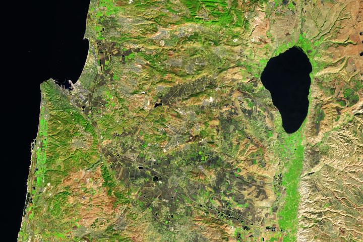
Sea of Galilee Read more
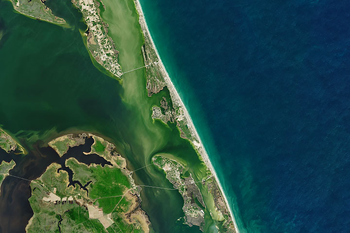
Kitty Hawk and Kill Devil Hills Read more
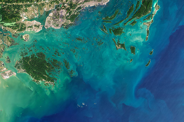
Bai Tu Long Bay Read more
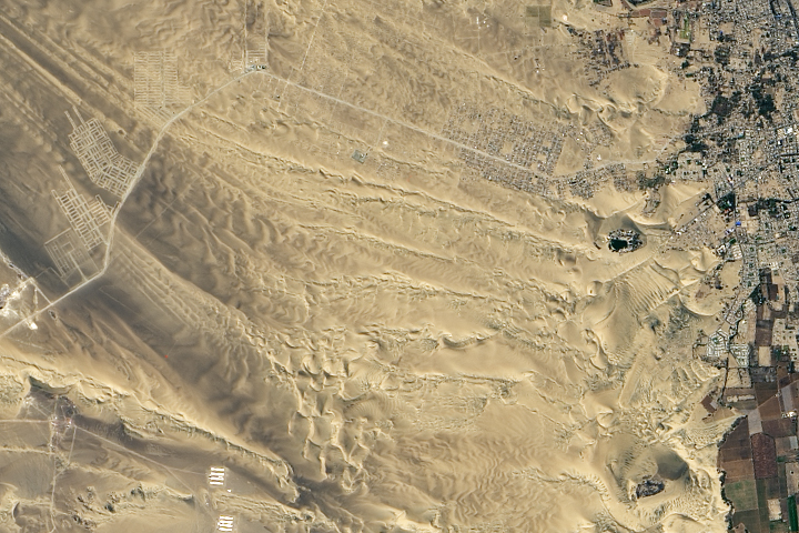
A Lagoon in the Desert Read more
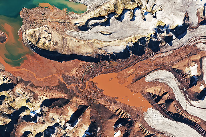
A Swirl of Old Supercontinent Silt Read more
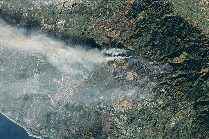
New Fires Scorch the Hills of Southern California Read more