The Landsat satellite record stretches from 1972 to the present. This gallery includes all Landsat images published on the Earth Observatory, Visible Earth, and Landsat Science web sites from all seven Landsat satellites (Landsats 1-8, Landsat 6 failed to achieve orbit). All of the images are in the public domain and may be used with attribution. The correct attribution for imagery obtained from this site is:
“Landsat imagery courtesy of NASA Goddard Space Flight Center and U.S. Geological Survey” or “USGS/NASA Landsat”
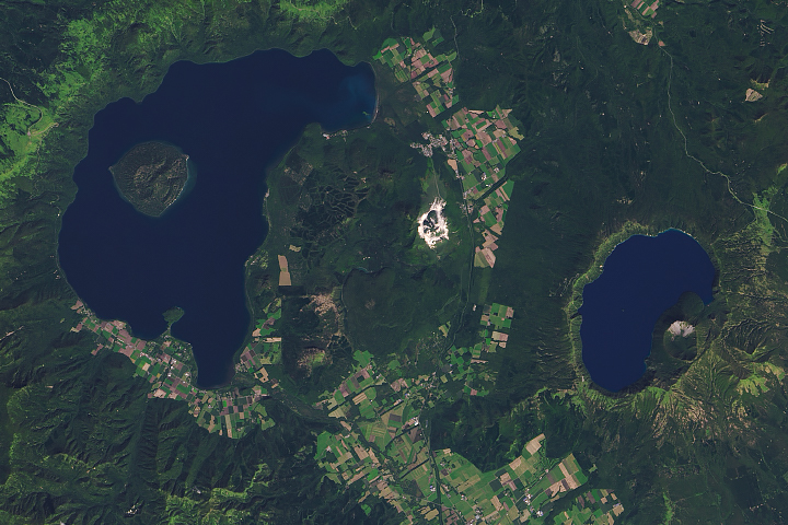
Parasitic Cones in Hokkaido Read more
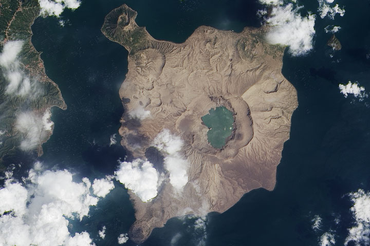
An Ash-Damaged Island in the Philippines Read more
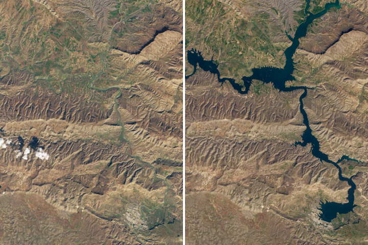
Slowly Flooding History Read more
A Space Communications Hub in Australia Read more
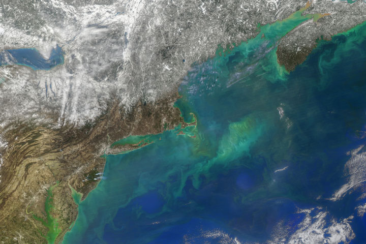
Hints of Spring in the Atlantic Read more
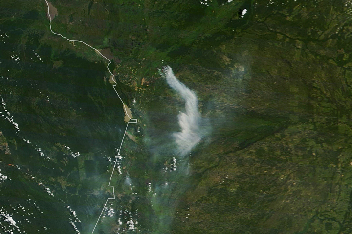
Fire in the Pantanal Read more

The Largest Solar Power Plant in Europe (For Now) Read more

Reflecting on a Tumultuous Amazon Fire Season Read more
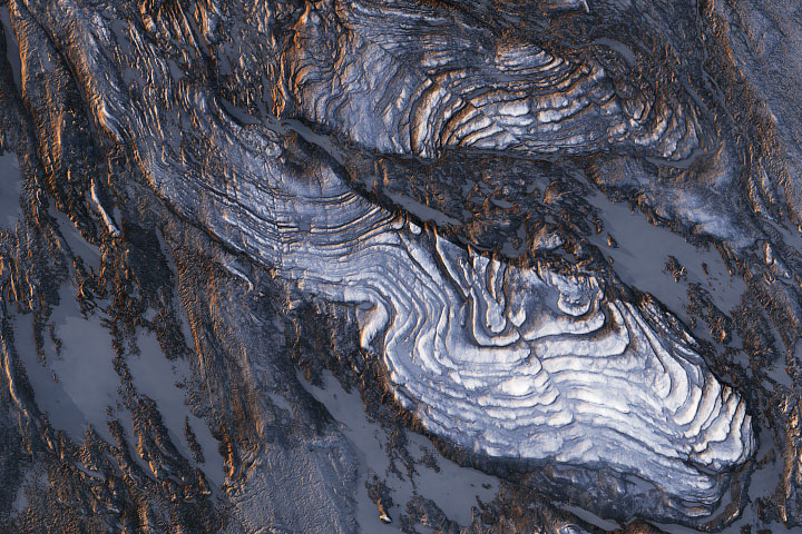
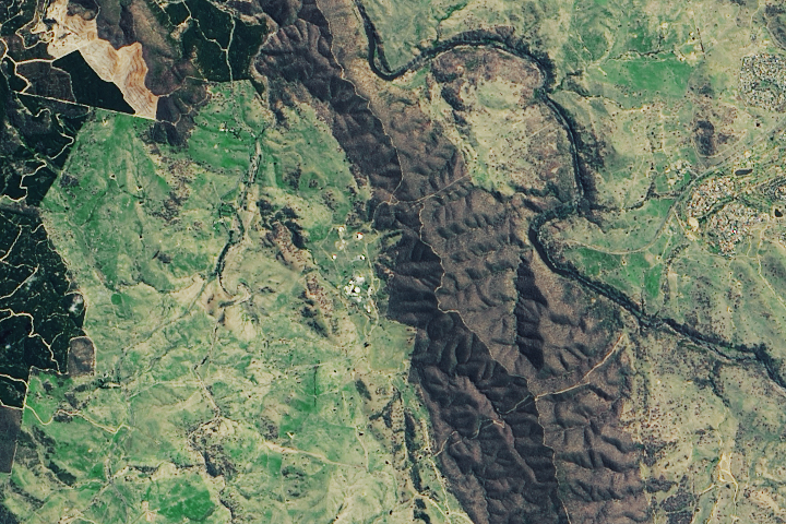
Phenomenal Faults and Folds Read more