The Landsat satellite record stretches from 1972 to the present. This gallery includes all Landsat images published on the Earth Observatory, Visible Earth, and Landsat Science web sites from all seven Landsat satellites (Landsats 1-8, Landsat 6 failed to achieve orbit). All of the images are in the public domain and may be used with attribution. The correct attribution for imagery obtained from this site is:
“Landsat imagery courtesy of NASA Goddard Space Flight Center and U.S. Geological Survey” or “USGS/NASA Landsat”
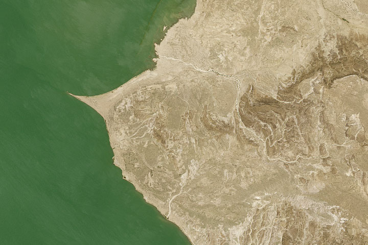
A Remote Lake with a Rich History Read more
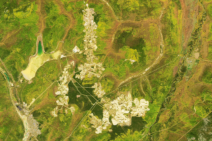
Gold Mining in Russia’s Central Aldan Ore District Read more
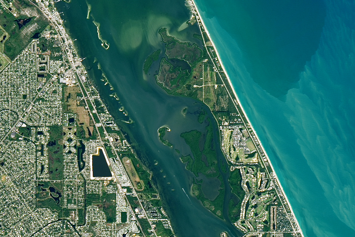
America’s First National Wildlife Refuge Read more
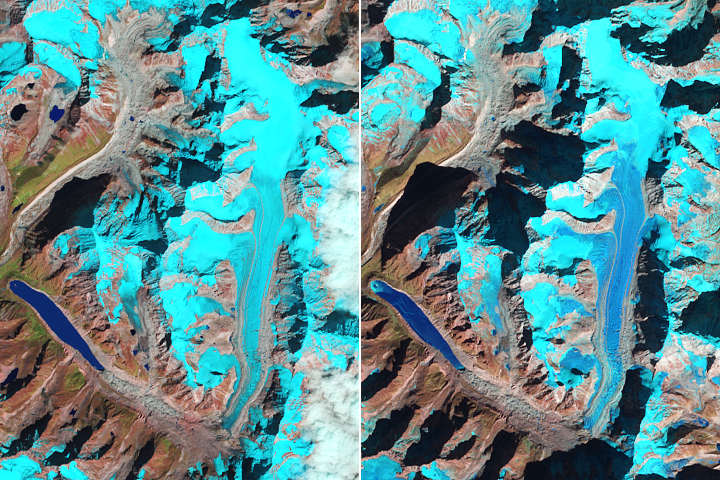
Snow-Free Glaciers in Winter Read more
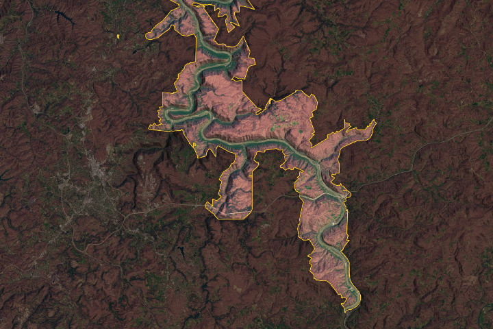
A New Park for West Virginia Read more
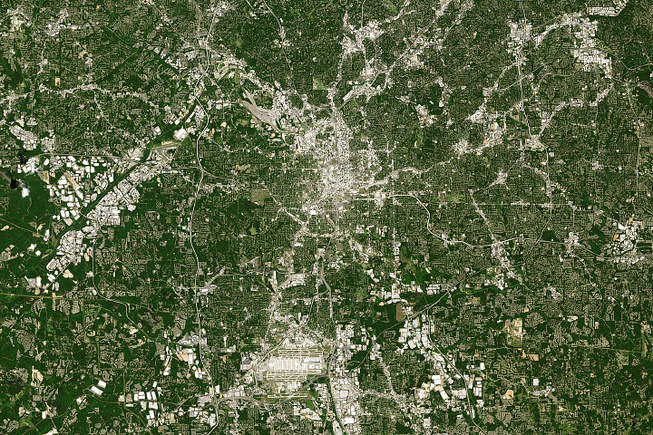
Changing Atlanta Read more
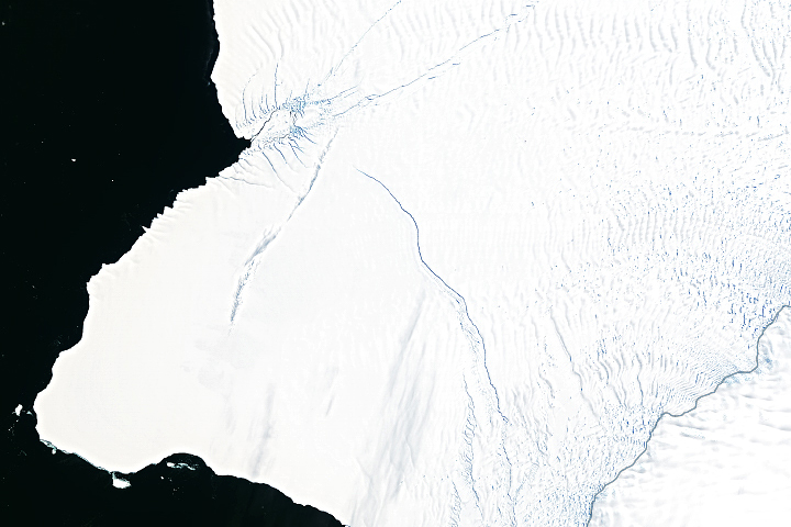
Brunt Breaking Up with Antarctica this Year? Read more
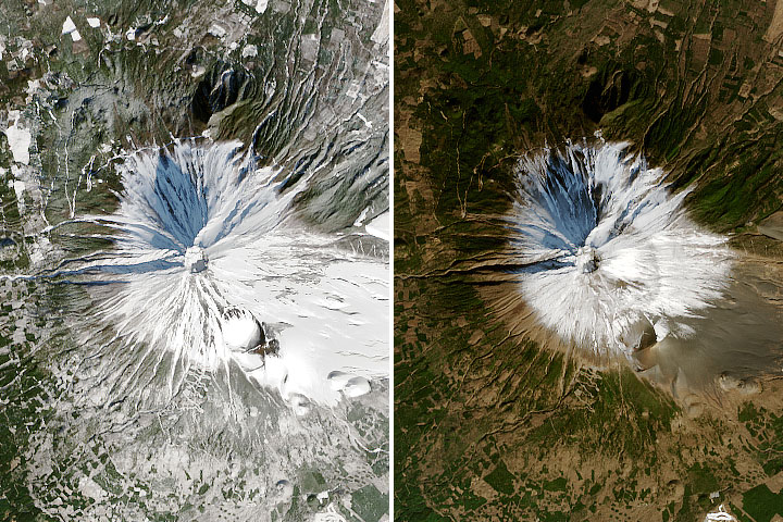
Mount Fuji’s Missing Snow Read more

Undercutting Sverdrup Glacier Read more