The Landsat satellite record stretches from 1972 to the present. This gallery includes all Landsat images published on the Earth Observatory, Visible Earth, and Landsat Science web sites from all seven Landsat satellites (Landsats 1-8, Landsat 6 failed to achieve orbit). All of the images are in the public domain and may be used with attribution. The correct attribution for imagery obtained from this site is:
“Landsat imagery courtesy of NASA Goddard Space Flight Center and U.S. Geological Survey” or “USGS/NASA Landsat”
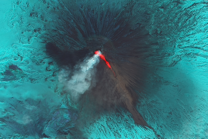
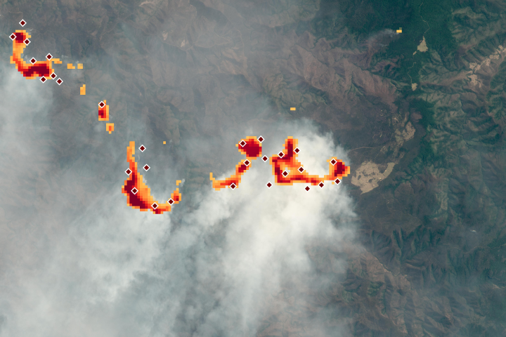
Klyuchevskaya Eruption Continues Read more
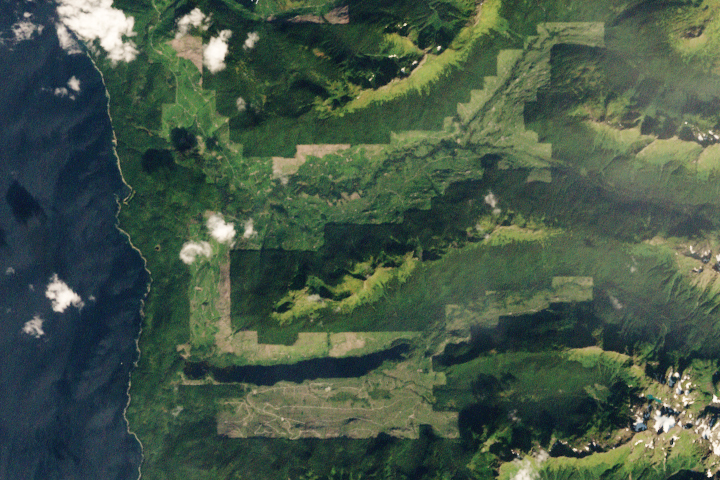
Admiralty Island: “Fortress of the Bears” Read more
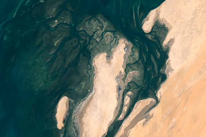
Beautiful Banc d'Arguin National Park Read more
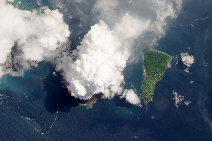
Violent Puffs from Krakatau Read more
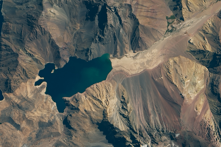
A Strained Water System in Chile Read more
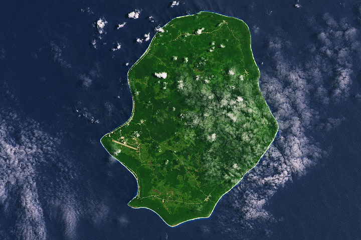
Nice and Dark in Niue Read more
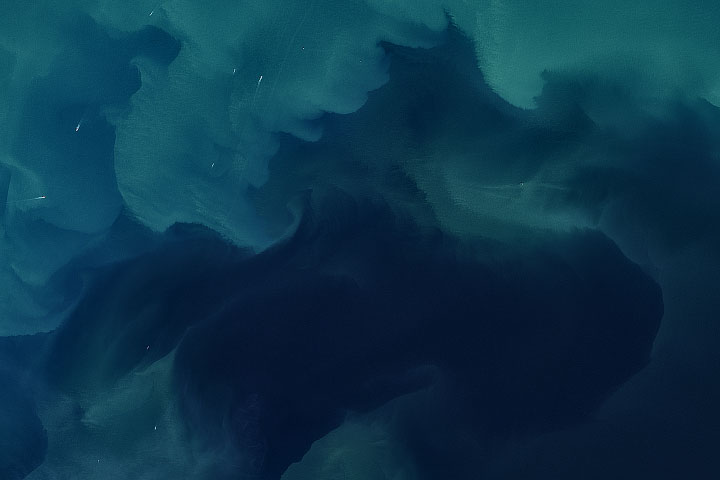
A Sea of Color and Wind Read more
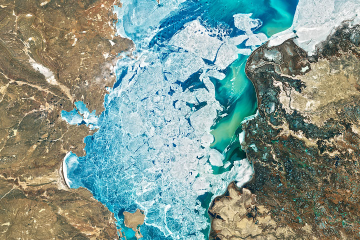
A Delta Oasis in Southeastern Kazakhstan Read more
Taking Temperatures from ISS Read more