The Landsat satellite record stretches from 1972 to the present. This gallery includes all Landsat images published on the Earth Observatory, Visible Earth, and Landsat Science web sites from all seven Landsat satellites (Landsats 1-8, Landsat 6 failed to achieve orbit). All of the images are in the public domain and may be used with attribution. The correct attribution for imagery obtained from this site is:
“Landsat imagery courtesy of NASA Goddard Space Flight Center and U.S. Geological Survey” or “USGS/NASA Landsat”
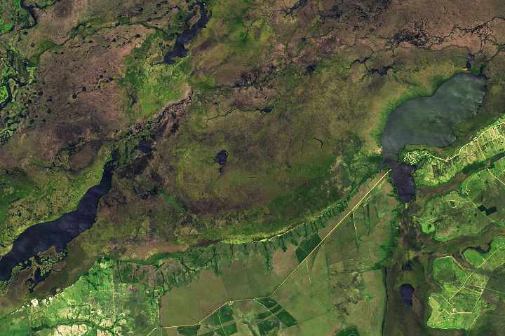
A New Start for Iberá Read more
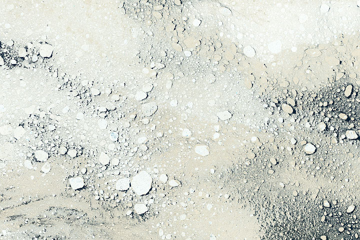
A Different Shade of Ice Read more
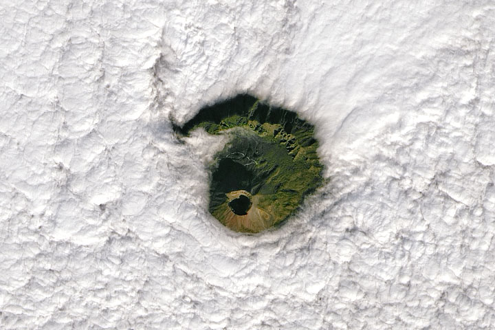
A View of Vesuvius Read more
Everest-Area Plant Life Spreads Read more
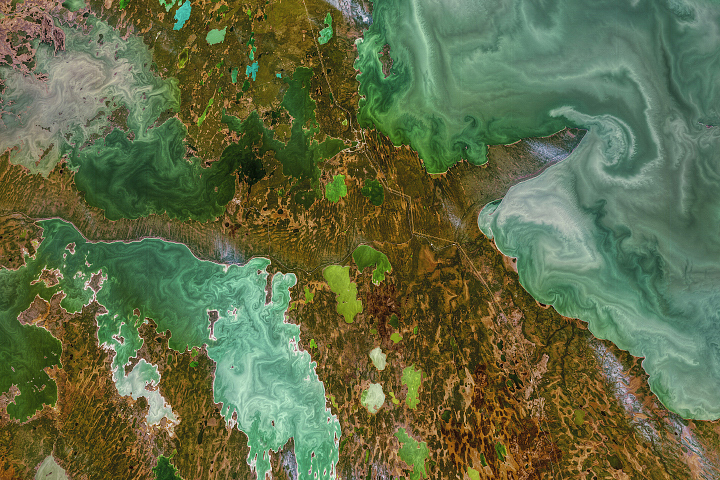
Ice Age Canadian Lakes Read more
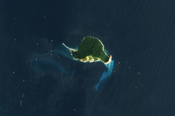
Guishan Island Read more
Island Nation Hit Hard by Eruption Read more
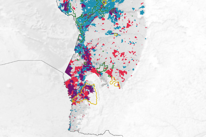
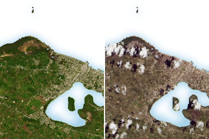
A Human Fingerprint on the Pantanal Inferno Read more
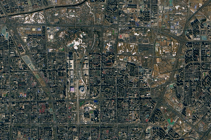
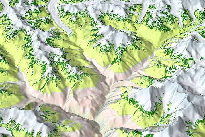
A Satellite View of Olympic Terrain Read more