The Landsat satellite record stretches from 1972 to the present. This gallery includes all Landsat images published on the Earth Observatory, Visible Earth, and Landsat Science web sites from all seven Landsat satellites (Landsats 1-8, Landsat 6 failed to achieve orbit). All of the images are in the public domain and may be used with attribution. The correct attribution for imagery obtained from this site is:
“Landsat imagery courtesy of NASA Goddard Space Flight Center and U.S. Geological Survey” or “USGS/NASA Landsat”
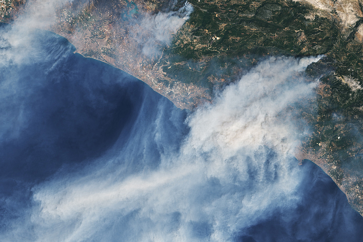
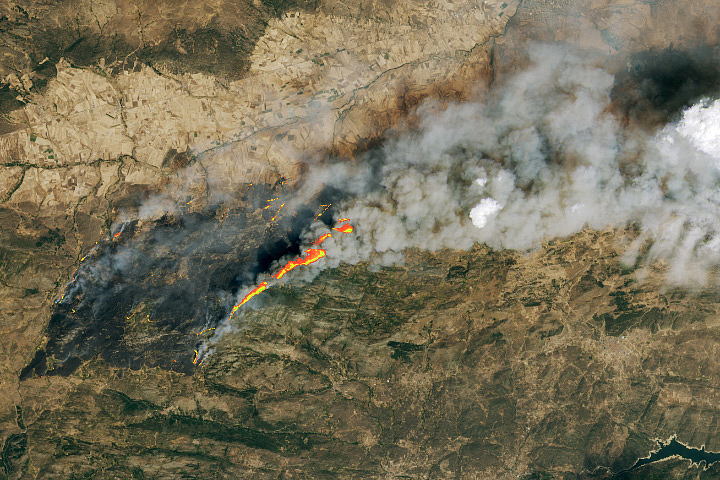
Fires Rage in Turkey Read more
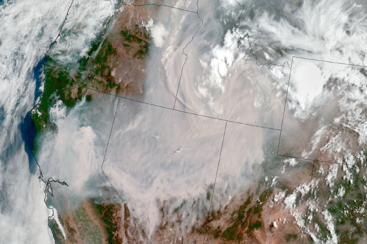
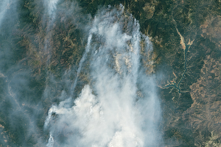
California’s Dixie Fire Keeps on Growing Read more
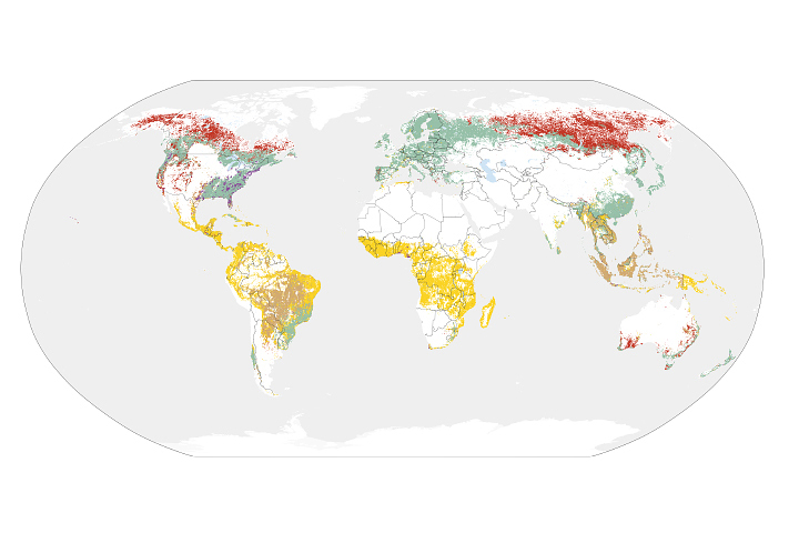
Sizing Up How Agriculture Connects to Deforestation Read more

Fire Consumes Large Swaths of Greece Read more

Record Low for Great Salt Lake Read more
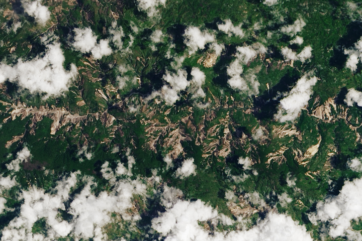
Earthquake in Haiti Triggers Landslides Read more
Heat and Flames Scorch Spain Read more
California Burning Read more
Birthplace of a Hidden Figure Read more