The Landsat satellite record stretches from 1972 to the present. This gallery includes all Landsat images published on the Earth Observatory, Visible Earth, and Landsat Science web sites from all seven Landsat satellites (Landsats 1-8, Landsat 6 failed to achieve orbit). All of the images are in the public domain and may be used with attribution. The correct attribution for imagery obtained from this site is:
“Landsat imagery courtesy of NASA Goddard Space Flight Center and U.S. Geological Survey” or “USGS/NASA Landsat”
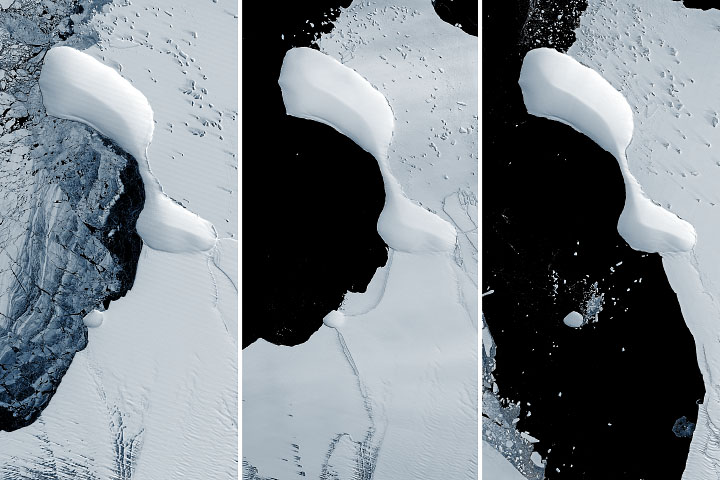
Ice Lost, Island Found? Read more
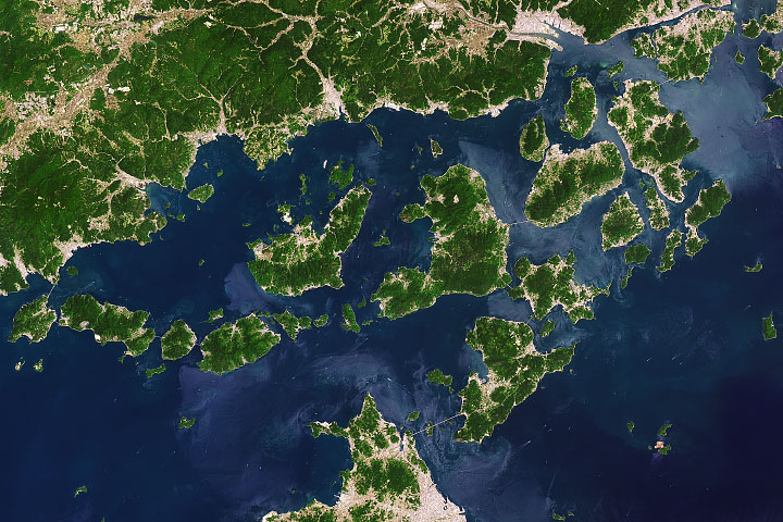
Navigating the Geiyo Islands Read more
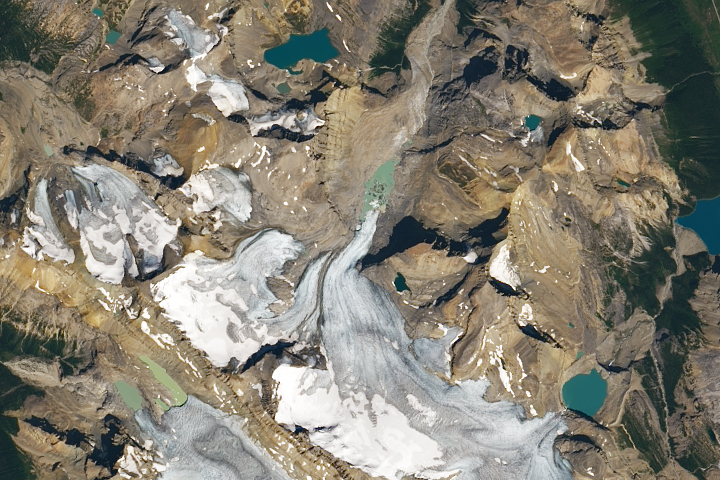
Losing a Long-Watched Glacier Read more
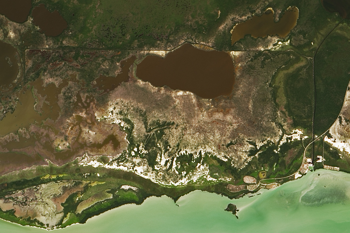
Measuring Methane in the Everglades Read more
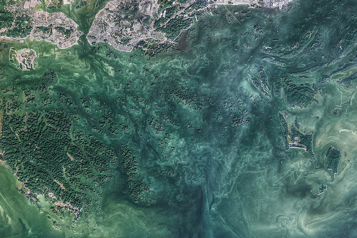
The Emerald Isles of Hạ Long Bay Read more
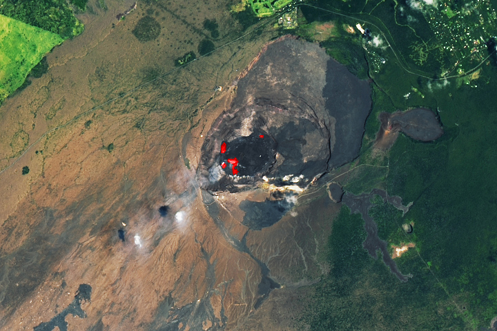
Kīlauea’s Lava Lake Persists Read more
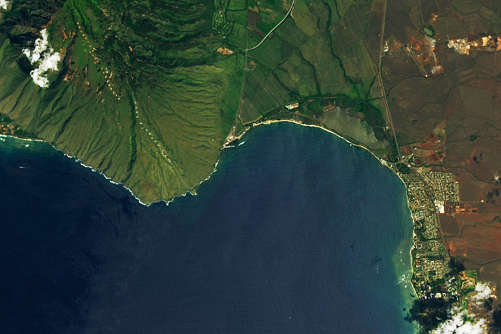
Maui’s Iconic Waves Read more
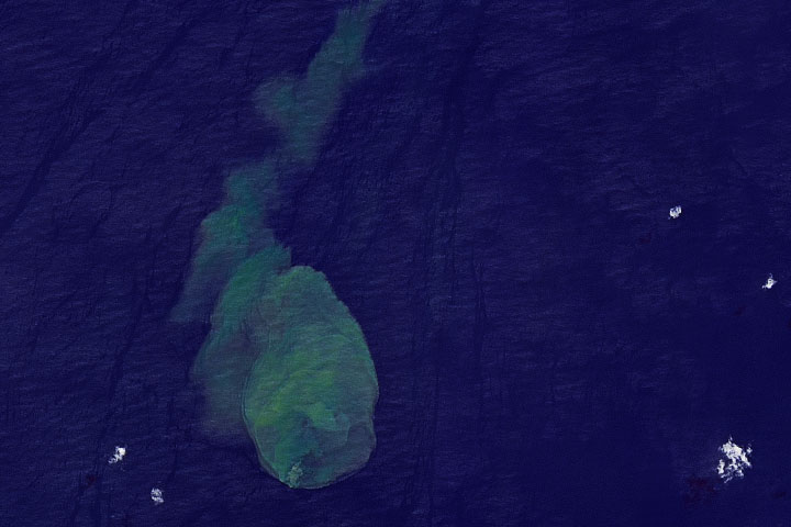
Submarine Eruption of Kavachi Volcano Read more
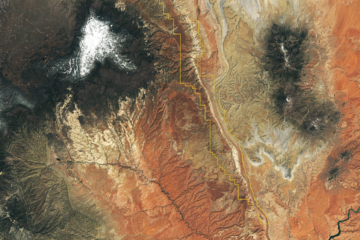
Traces of an Ancient Watery World in Capitol Reef Read more