The Landsat satellite record stretches from 1972 to the present. This gallery includes all Landsat images published on the Earth Observatory, Visible Earth, and Landsat Science web sites from all seven Landsat satellites (Landsats 1-8, Landsat 6 failed to achieve orbit). All of the images are in the public domain and may be used with attribution. The correct attribution for imagery obtained from this site is:
“Landsat imagery courtesy of NASA Goddard Space Flight Center and U.S. Geological Survey” or “USGS/NASA Landsat”
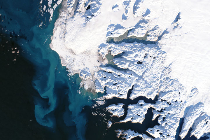
Silting the Cold Sea Read more
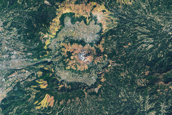
Leaf Hunting in Japan Read more
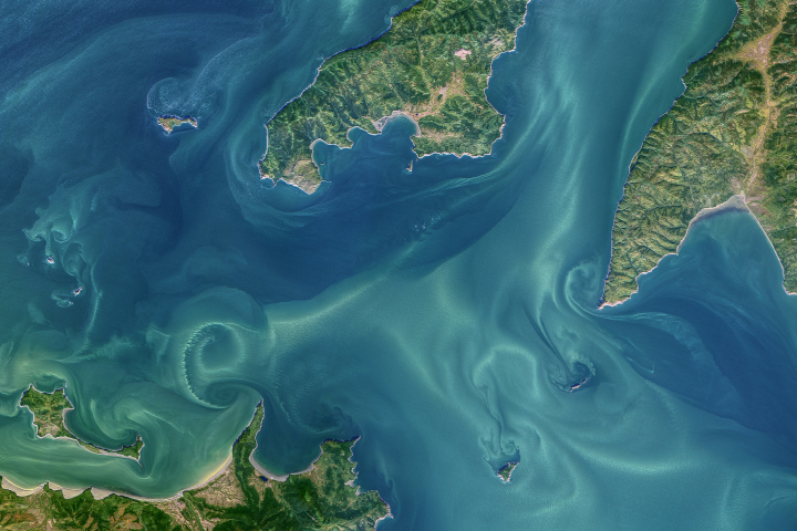
Tidal Vortices in the Sea of Okhotsk Read more
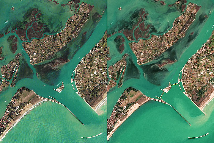
Venice Holds Back the Adriatic Sea Read more
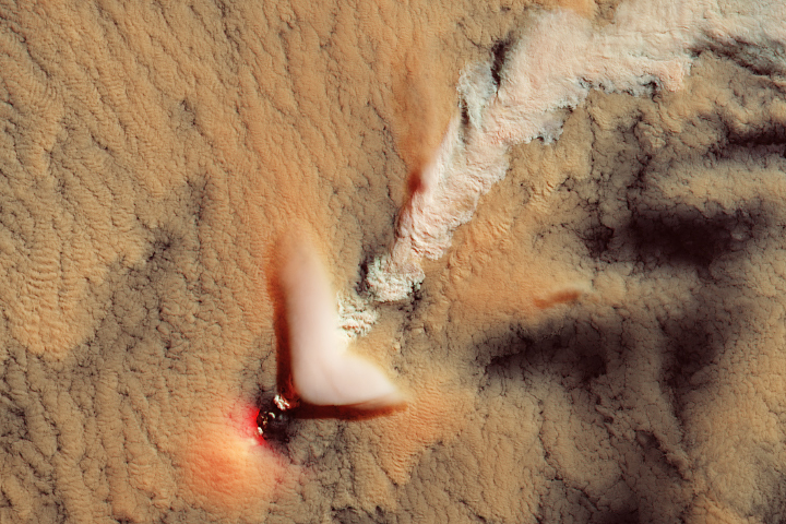
Mount Michael, Volcano Track or Plume? Read more
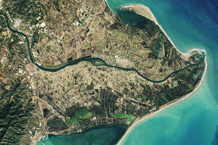
Spain’s Changing Mediterranean Coastline Read more
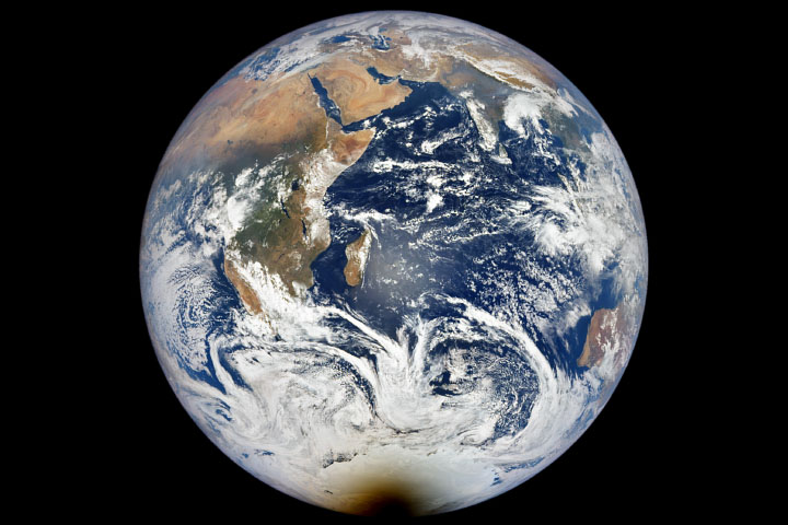
Antarctica Eclipsed Read more
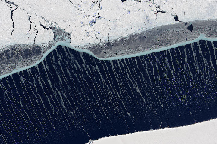
Windblown Beauty in the Weddell Sea Read more
The Nile Delta’s Disappearing Farmland Read more