The Landsat satellite record stretches from 1972 to the present. This gallery includes all Landsat images published on the Earth Observatory, Visible Earth, and Landsat Science web sites from all seven Landsat satellites (Landsats 1-8, Landsat 6 failed to achieve orbit). All of the images are in the public domain and may be used with attribution. The correct attribution for imagery obtained from this site is:
“Landsat imagery courtesy of NASA Goddard Space Flight Center and U.S. Geological Survey” or “USGS/NASA Landsat”
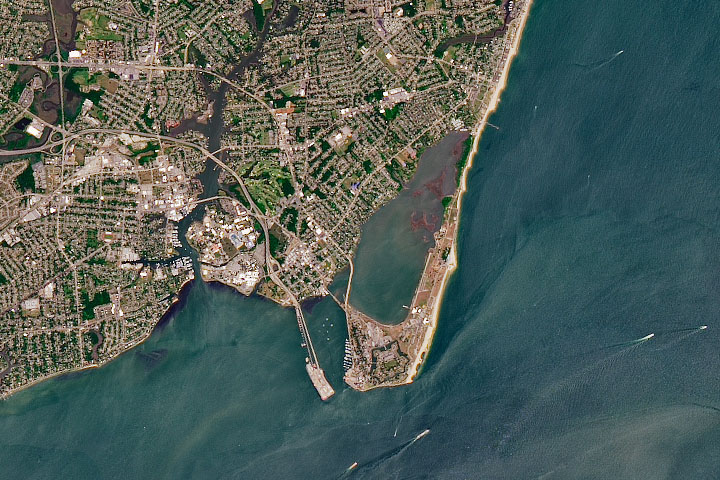
Freedom’s Fortress Read more
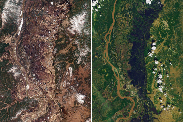
Living with Floods in the Innoko Lowlands Read more
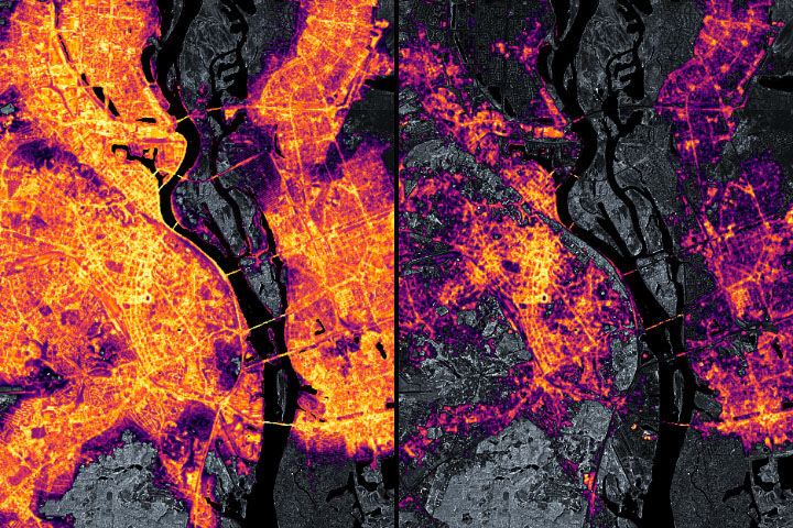
Tracking Night Lights in Ukraine Read more
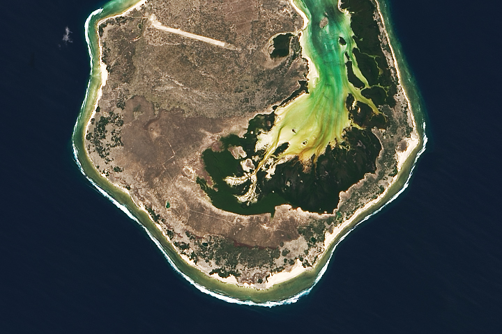
Europa Island Read more
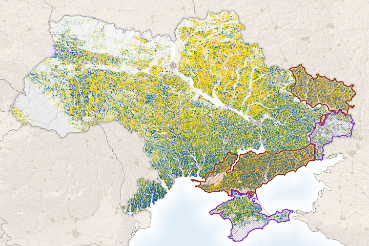
Measuring War’s Effect on a Global Breadbasket Read more
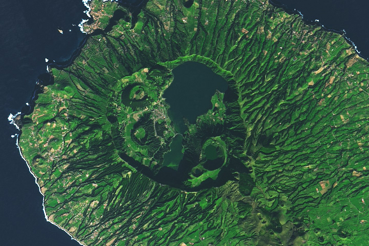
São Miguel, Azores Read more
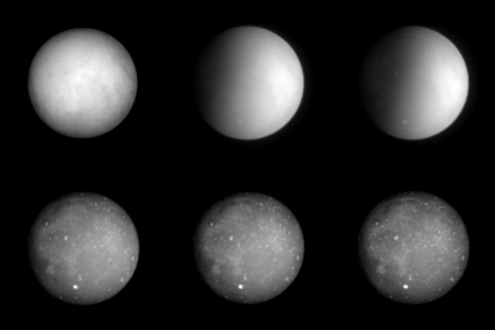
Landsat Looks at the Moon Read more
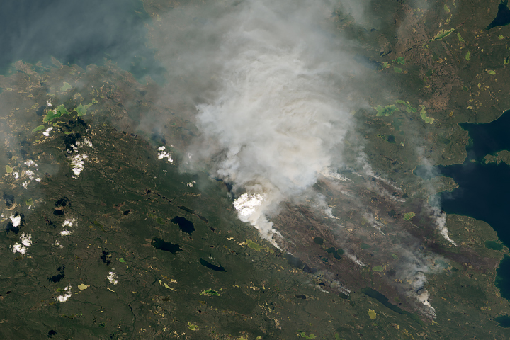
Heat and Fires Scorch Northern Canada Read more
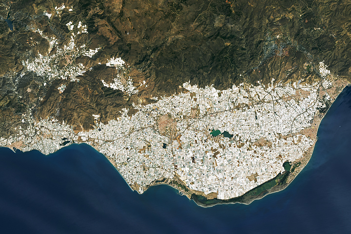
Almería’s Sea of Greenhouses Read more