The Landsat satellite record stretches from 1972 to the present. This gallery includes all Landsat images published on the Earth Observatory, Visible Earth, and Landsat Science web sites from all seven Landsat satellites (Landsats 1-8, Landsat 6 failed to achieve orbit). All of the images are in the public domain and may be used with attribution. The correct attribution for imagery obtained from this site is:
“Landsat imagery courtesy of NASA Goddard Space Flight Center and U.S. Geological Survey” or “USGS/NASA Landsat”
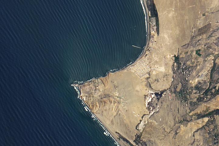
World’s Longest Wave? Read more
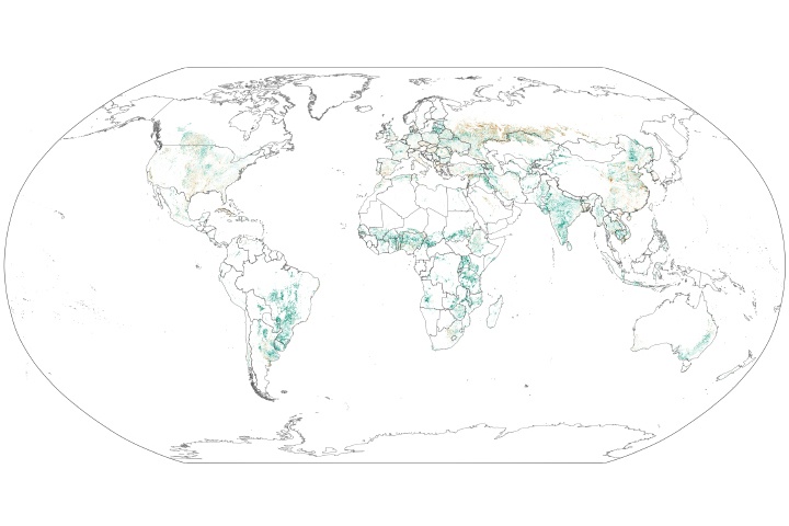
Global Croplands Expand Read more
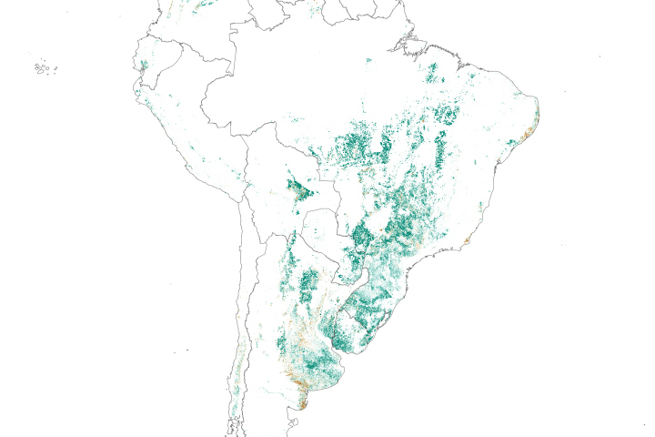
The Spread of Soy in South America Read more
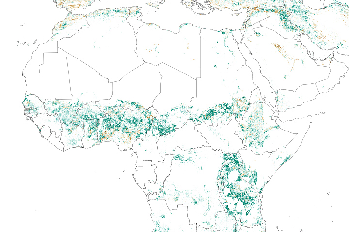
Crop Expansion Accelerates in Africa Read more

Divine Providencia Read more
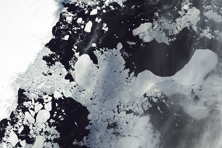
Ice Shelf Collapse in East Antarctica Read more
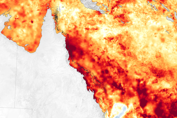
Great Barrier Reef Mass Bleaching Event Read more
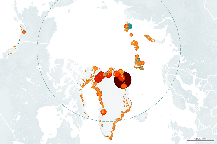
Northern Glaciers are Retreating from the Water Read more
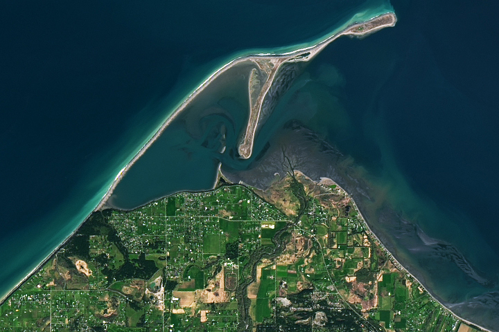
Dungeness Spit Read more