The Landsat satellite record stretches from 1972 to the present. This gallery includes all Landsat images published on the Earth Observatory, Visible Earth, and Landsat Science web sites from all seven Landsat satellites (Landsats 1-8, Landsat 6 failed to achieve orbit). All of the images are in the public domain and may be used with attribution. The correct attribution for imagery obtained from this site is:
“Landsat imagery courtesy of NASA Goddard Space Flight Center and U.S. Geological Survey” or “USGS/NASA Landsat”
Puerto Rico Landscape Ravaged by Hurricane Maria Read more

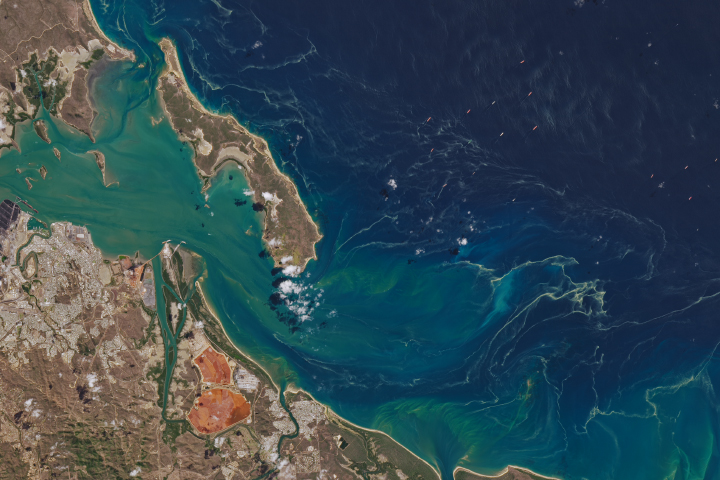
Lake Erie Abloom Read more
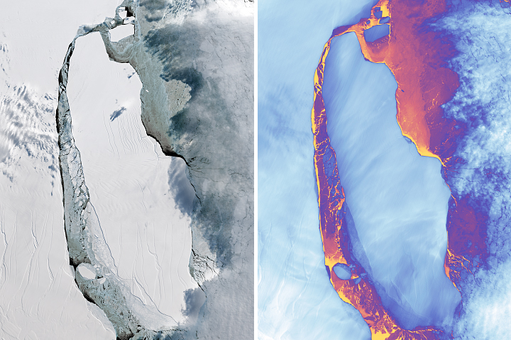
A-68 Adrift Read more
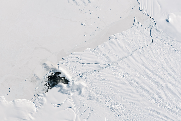
Pine Island Glacier Births New ‘Berg Read more
Space Archaeology: In the Realm of Resolution Read more
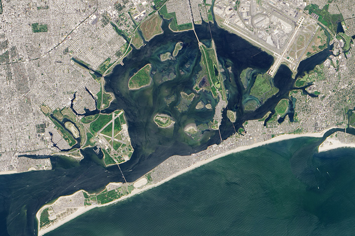
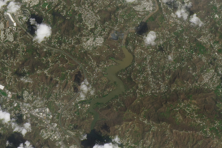
An Unlikely Corner of New York Read more
Sea Sawdust off Gladstone Read more
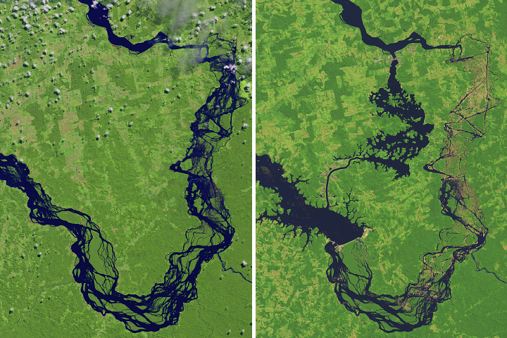
Reshaping the Xingu River Read more
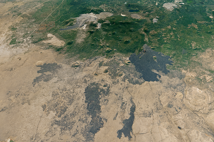
Lava Beds National Monument Read more