The Landsat satellite record stretches from 1972 to the present. This gallery includes all Landsat images published on the Earth Observatory, Visible Earth, and Landsat Science web sites from all seven Landsat satellites (Landsats 1-8, Landsat 6 failed to achieve orbit). All of the images are in the public domain and may be used with attribution. The correct attribution for imagery obtained from this site is:
“Landsat imagery courtesy of NASA Goddard Space Flight Center and U.S. Geological Survey” or “USGS/NASA Landsat”
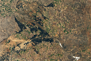
Ashland in Ashes Read more

Tasman Glacier Retreats Read more
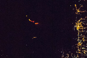
Etna Erupts Read more
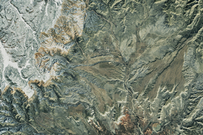
Bryce Canyon National Park Read more
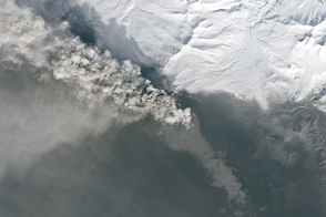
Ash and Snow at Kambalny Read more
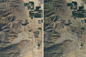
A California Desert Erupts in Wildflowers Read more
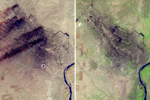
The Oil Fires in Qayyarah Are Out Read more
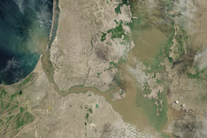
Flooding in Northern Peru Read more
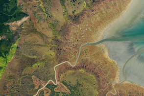
Russia’s Bay of Whales Read more