The Landsat satellite record stretches from 1972 to the present. This gallery includes all Landsat images published on the Earth Observatory, Visible Earth, and Landsat Science web sites from all seven Landsat satellites (Landsats 1-8, Landsat 6 failed to achieve orbit). All of the images are in the public domain and may be used with attribution. The correct attribution for imagery obtained from this site is:
“Landsat imagery courtesy of NASA Goddard Space Flight Center and U.S. Geological Survey” or “USGS/NASA Landsat”
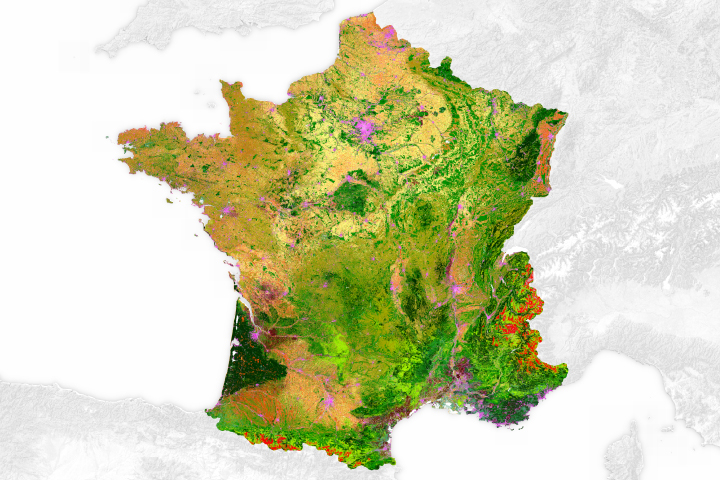
Land Cover Map of France Read more

Canyonlands National Park Read more
Oyster Prospecting With Landsat 8 Read more
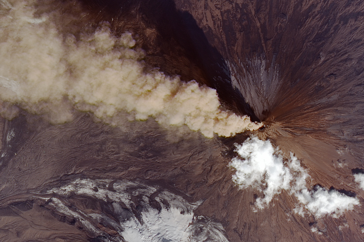
Another Puff of Ash From Klyuchevskoy Read more
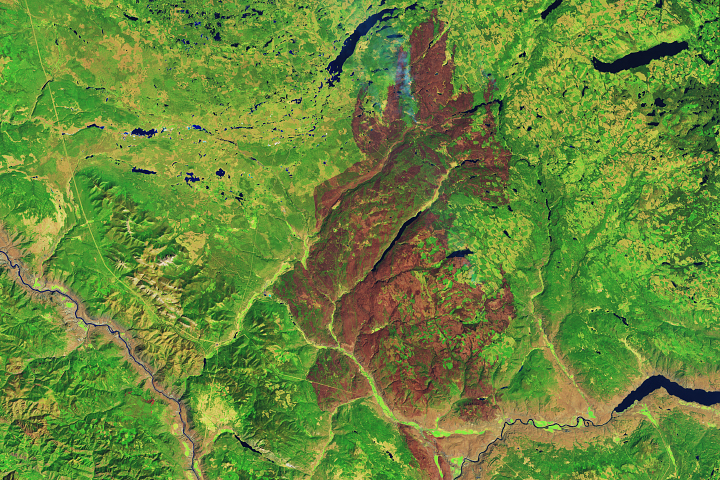
Elephant Hill Fire Chars Forest in British Columbia Read more
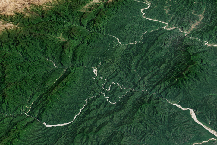
Baritú National Park Read more
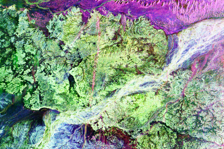
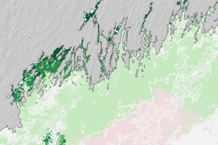
Secrets Beneath the Sand Read more
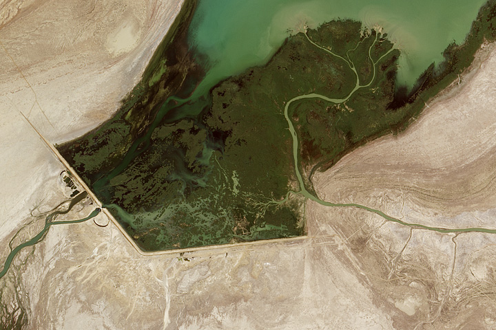
New Water in the Aral Sea Read more
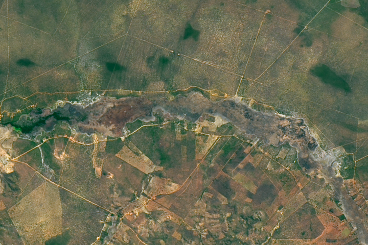
Palm Swamp Fire in Brazil Read more