The Landsat satellite record stretches from 1972 to the present. This gallery includes all Landsat images published on the Earth Observatory, Visible Earth, and Landsat Science web sites from all seven Landsat satellites (Landsats 1-8, Landsat 6 failed to achieve orbit). All of the images are in the public domain and may be used with attribution. The correct attribution for imagery obtained from this site is:
“Landsat imagery courtesy of NASA Goddard Space Flight Center and U.S. Geological Survey” or “USGS/NASA Landsat”
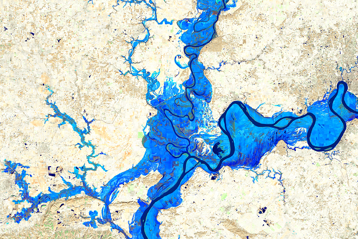
Floodwaters at the Confluence of the Wabash and Ohio Rivers Read more
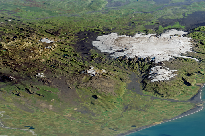
Iceland’s Caldera of Hot Springs Read more
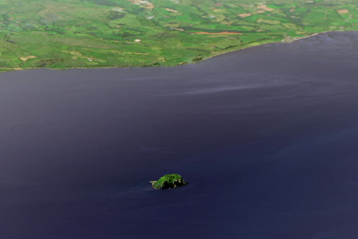
Ailsa Craig Read more
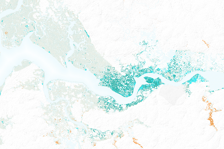
The Spread of Mangroves in Senegal Read more
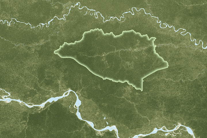
Peru’s Newest National Park Read more
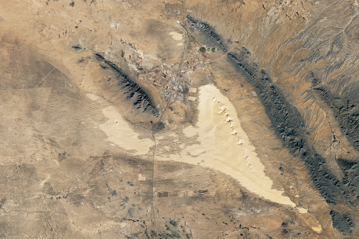
Samalayuca Sand Dunes Read more
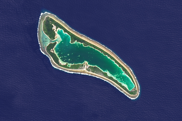
Nikumaroro Atoll Read more
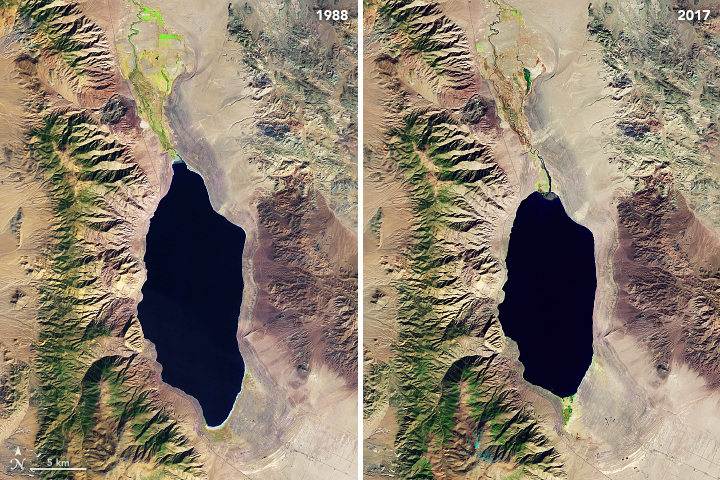
Disappearing Walker Lake Read more
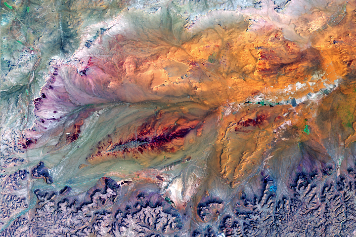
Sculpting a Basin Read more