The Landsat satellite record stretches from 1972 to the present. This gallery includes all Landsat images published on the Earth Observatory, Visible Earth, and Landsat Science web sites from all seven Landsat satellites (Landsats 1-8, Landsat 6 failed to achieve orbit). All of the images are in the public domain and may be used with attribution. The correct attribution for imagery obtained from this site is:
“Landsat imagery courtesy of NASA Goddard Space Flight Center and U.S. Geological Survey” or “USGS/NASA Landsat”
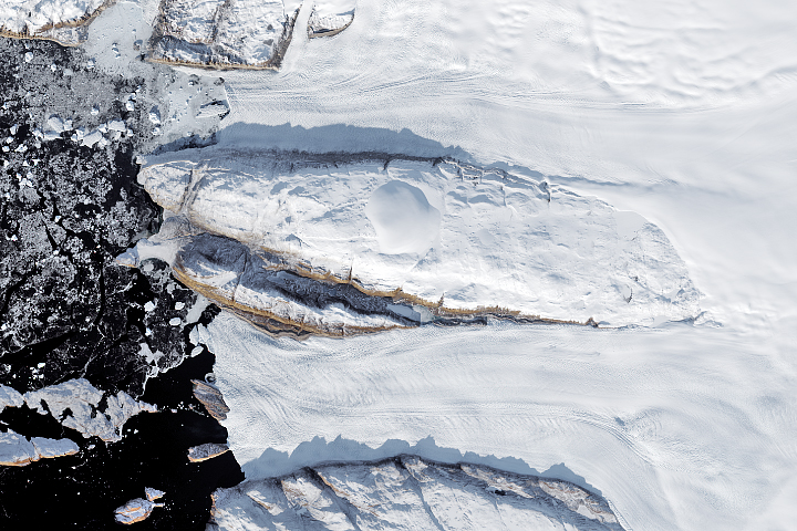
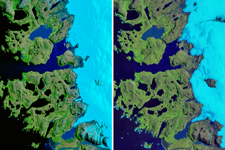
Decline of Two Glaciers in Northwest Greenland Read more
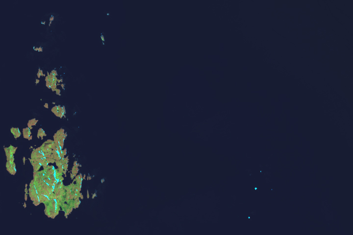
The Island Named After a Satellite Read more
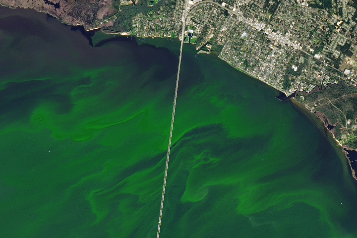
Coloring Lake Pontchartrain Read more
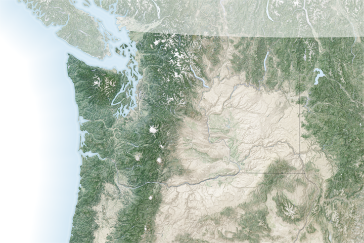
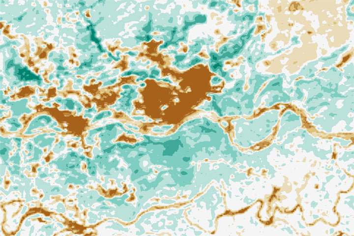
Channeled Scablands Read more
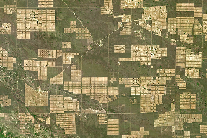
A Ring of Green Around Surgut Read more
Glacier Retreat at Cook Ice Cap Read more
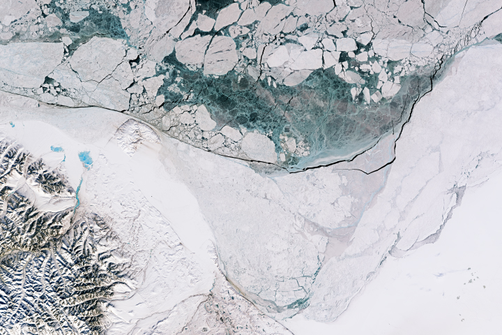
Beauty in the Beaufort Ice Pack Read more
Deforestation in Paraguay Read more
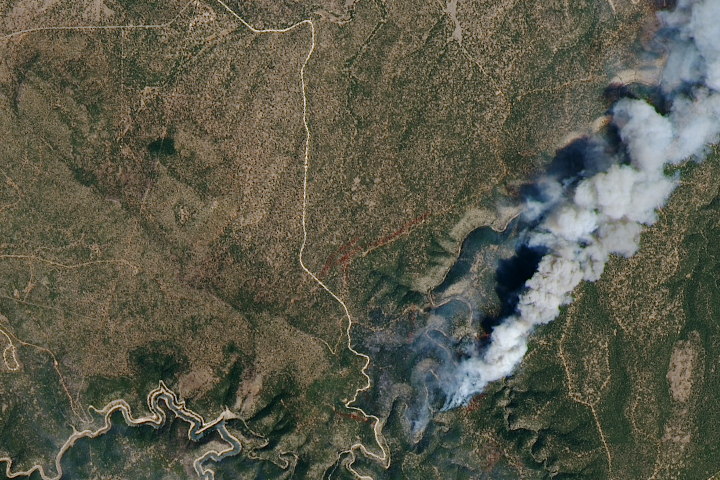
Using Satellites to Track the Tinder Fire Read more