The Landsat satellite record stretches from 1972 to the present. This gallery includes all Landsat images published on the Earth Observatory, Visible Earth, and Landsat Science web sites from all seven Landsat satellites (Landsats 1-8, Landsat 6 failed to achieve orbit). All of the images are in the public domain and may be used with attribution. The correct attribution for imagery obtained from this site is:
“Landsat imagery courtesy of NASA Goddard Space Flight Center and U.S. Geological Survey” or “USGS/NASA Landsat”
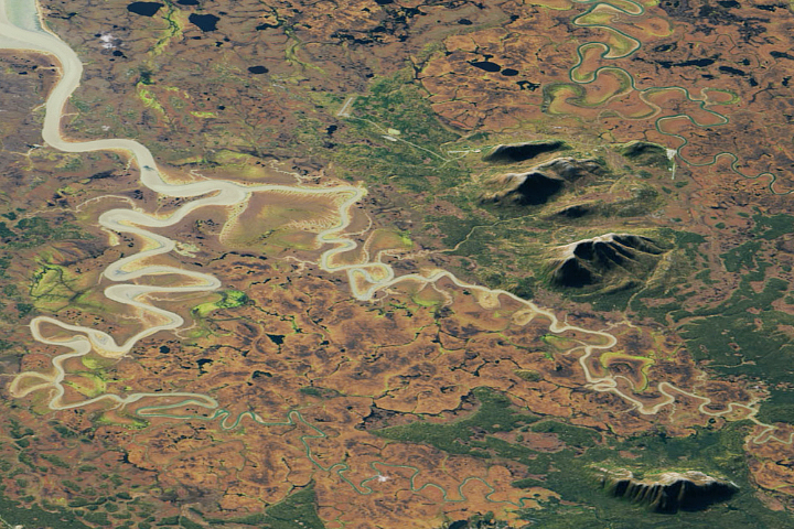
A Blaze of Color in Alaska Read more
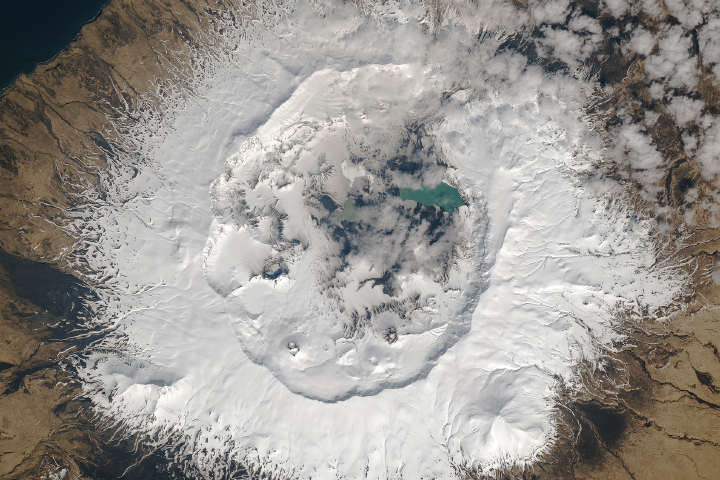
Umnak Island Read more
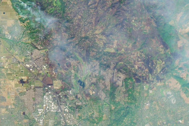
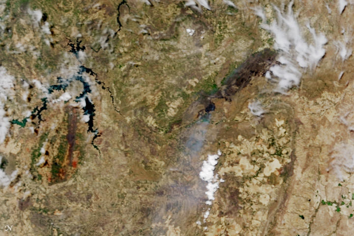
Santa Rosa Scarred by Fire Read more

Connecticut River Oxbow Read more
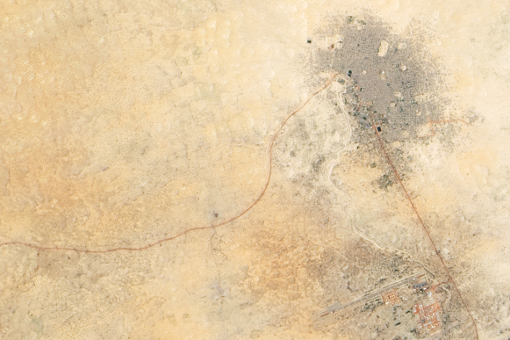
The Red Roads to Timbuktu Read more
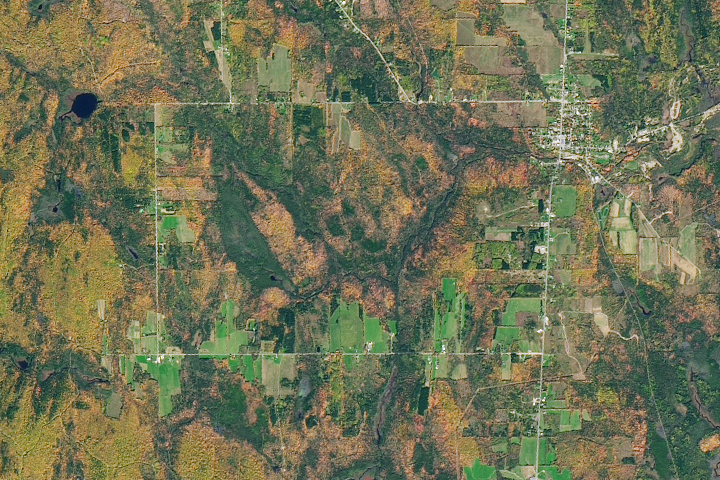
Check Out These Colors, Maine! Read more
Fire Chars Brazil’s Chapada dos Veadeiros National Park Read more
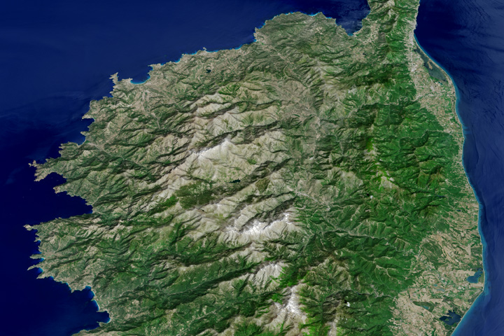
The Mountainous Spine of Corsica Read more
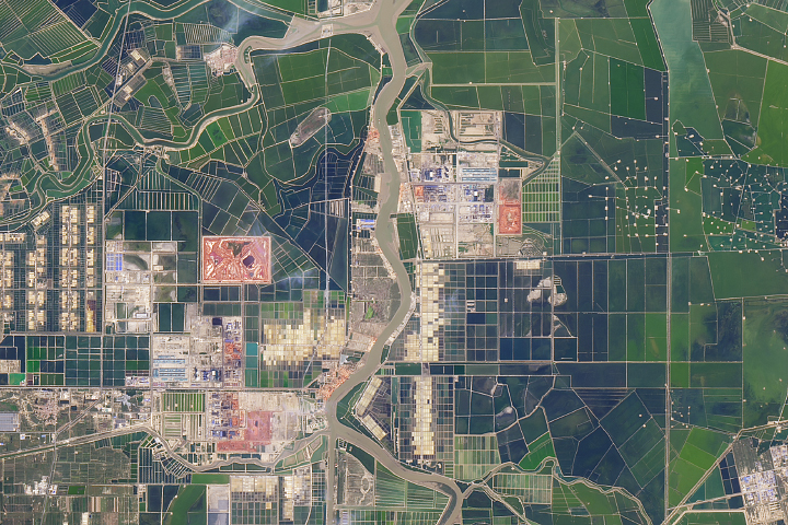
A Very Human Landscape in China Read more