The Landsat satellite record stretches from 1972 to the present. This gallery includes all Landsat images published on the Earth Observatory, Visible Earth, and Landsat Science web sites from all seven Landsat satellites (Landsats 1-8, Landsat 6 failed to achieve orbit). All of the images are in the public domain and may be used with attribution. The correct attribution for imagery obtained from this site is:
“Landsat imagery courtesy of NASA Goddard Space Flight Center and U.S. Geological Survey” or “USGS/NASA Landsat”
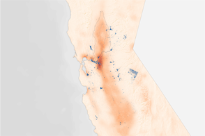
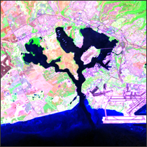
Vegetation Limits City Warming Effects Read more
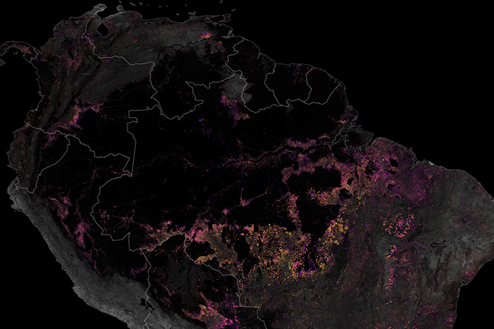
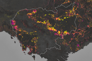
Tracking Amazon Deforestation from Above Read more
Satellite Data Helps Migrating Birds Read more
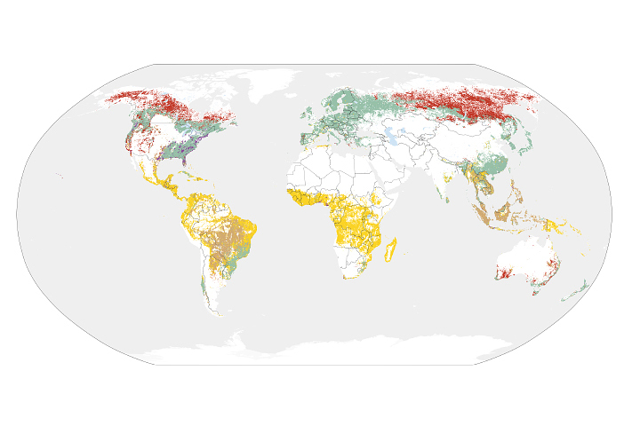
Sizing Up How Agriculture Connects to Deforestation Read more
Cambodia’s Forests Are Disappearing Read more
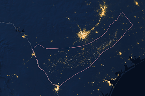
Pearl Harbor, Hawaii Read more
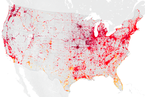
Shale Revolution: As Clear as Night and Day Read more
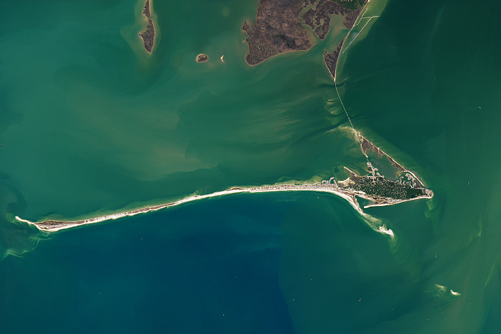
Dynamic Dauphin Island Read more
Landsat: Plymouth, Mass. Read more