The Landsat satellite record stretches from 1972 to the present. This gallery includes all Landsat images published on the Earth Observatory, Visible Earth, and Landsat Science web sites from all seven Landsat satellites (Landsats 1-8, Landsat 6 failed to achieve orbit). All of the images are in the public domain and may be used with attribution. The correct attribution for imagery obtained from this site is:
“Landsat imagery courtesy of NASA Goddard Space Flight Center and U.S. Geological Survey” or “USGS/NASA Landsat”
Kjer Glacier, Then and Now Read more
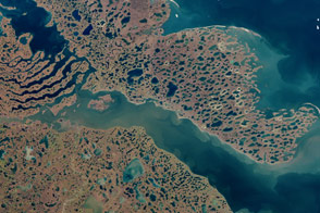
Liverpool Bay and Tuktoyaktuk Peninsula, Canada Read more
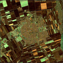
Hajdúböszörmény, Hungary Read more
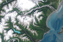
Mt. Redoubt Volcano, Alaska Read more
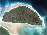
Akimiski Island, Canada Read more
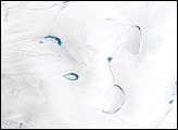
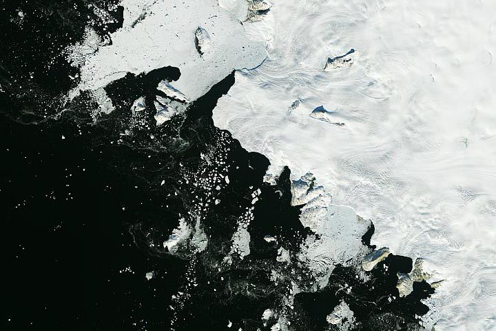
Melt Ponds on Greenland’s Ice Cap Read more
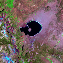
Mono Lake, California Read more
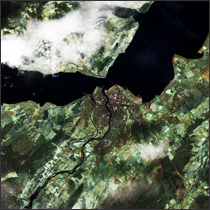
Inverness, Scotland Read more
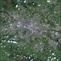
Glasgow, Scotland Read more