The Landsat satellite record stretches from 1972 to the present. This gallery includes all Landsat images published on the Earth Observatory, Visible Earth, and Landsat Science web sites from all seven Landsat satellites (Landsats 1-8, Landsat 6 failed to achieve orbit). All of the images are in the public domain and may be used with attribution. The correct attribution for imagery obtained from this site is:
“Landsat imagery courtesy of NASA Goddard Space Flight Center and U.S. Geological Survey” or “USGS/NASA Landsat”
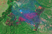
Los Alamos Fires From Landsat 7 Read more
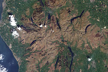
Lake District, North West England Read more
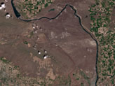
Hanford, Washington Before Fires Read more
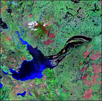
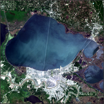
Great Slave Lake Read more
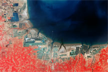
Aquaculture and Salt Production near Bo Hai, China Read more
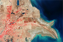
Yellow River Delta, China Read more
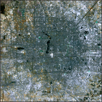
Beijing, China Read more
New Orleans, Louisiana Read more
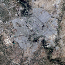
Baghdad, Iraq Read more