The Landsat satellite record stretches from 1972 to the present. This gallery includes all Landsat images published on the Earth Observatory, Visible Earth, and Landsat Science web sites from all seven Landsat satellites (Landsats 1-8, Landsat 6 failed to achieve orbit). All of the images are in the public domain and may be used with attribution. The correct attribution for imagery obtained from this site is:
“Landsat imagery courtesy of NASA Goddard Space Flight Center and U.S. Geological Survey” or “USGS/NASA Landsat”
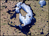
Nicholson Crater, Canada Read more
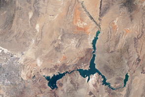
Losses in Lake Mead Read more
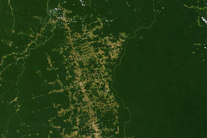
Making Sense of Amazon Deforestation Patterns Read more
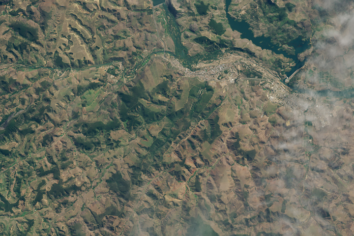
A New Patch of Green in Brazil Read more
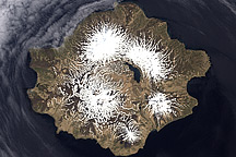
Semisopochnoi Island, Alaska Read more
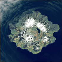
Semisopochnoi Island Read more
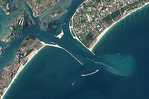
Parting the Sea to Save Venice Read more
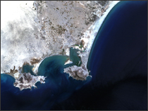
Dardzha Peninsula Read more
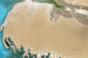
Aden, Yemen Read more