The Landsat satellite record stretches from 1972 to the present. This gallery includes all Landsat images published on the Earth Observatory, Visible Earth, and Landsat Science web sites from all seven Landsat satellites (Landsats 1-8, Landsat 6 failed to achieve orbit). All of the images are in the public domain and may be used with attribution. The correct attribution for imagery obtained from this site is:
“Landsat imagery courtesy of NASA Goddard Space Flight Center and U.S. Geological Survey” or “USGS/NASA Landsat”
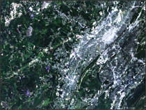
Birmingham, AL Read more

Soil Composition Across the U.S. Read more
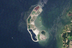
A Disappearing Island Restored Read more
Flooding in the Heartland Read more
Red River of the North, ND Read more

Preparing for Rising Seas in the Maldives Read more
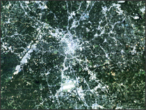
Atlanta, GA - Olympics Read more
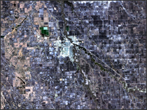
Los Angeles Read more
Landsat Perspective of Los Angeles Read more