The Landsat satellite record stretches from 1972 to the present. This gallery includes all Landsat images published on the Earth Observatory, Visible Earth, and Landsat Science web sites from all seven Landsat satellites (Landsats 1-8, Landsat 6 failed to achieve orbit). All of the images are in the public domain and may be used with attribution. The correct attribution for imagery obtained from this site is:
“Landsat imagery courtesy of NASA Goddard Space Flight Center and U.S. Geological Survey” or “USGS/NASA Landsat”

Mudtrails from Fishing Trawlers in Gulf of Mexico Read more
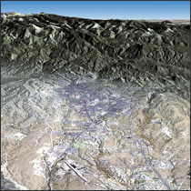
Santa Fe, New Mexico Read more
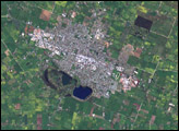
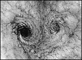
Mt. Gambier, South Australia Read more
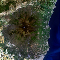
Mount Etna Read more
Kelp Losing Their Grip on the Seafloor Read more
Landsat 7 Reveals Large-scale Fractal Motion of Clouds Read more
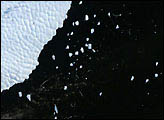
Iceberg B10A Calving Read more
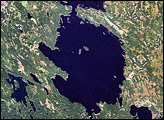
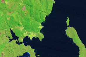
Lake Janisjarvi Impact Crater Read more
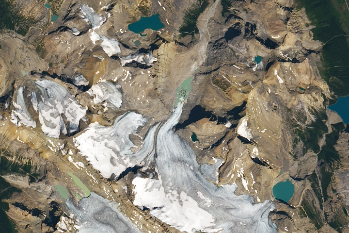
Losing a Long-Watched Glacier Read more