The Landsat satellite record stretches from 1972 to the present. This gallery includes all Landsat images published on the Earth Observatory, Visible Earth, and Landsat Science web sites from all seven Landsat satellites (Landsats 1-8, Landsat 6 failed to achieve orbit). All of the images are in the public domain and may be used with attribution. The correct attribution for imagery obtained from this site is:
“Landsat imagery courtesy of NASA Goddard Space Flight Center and U.S. Geological Survey” or “USGS/NASA Landsat”
Earthquake in the Valley Read more
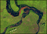
Great Flood of the Mississippi River, 1993 Read more
Storm of the Century Read more

Quebec Blizzard Read more
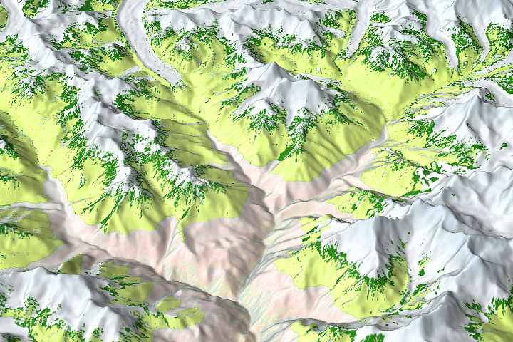
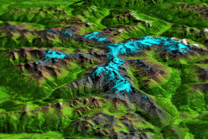
Everest-Area Plant Life Spreads Read more
Earth Processes, Climate Change Reveal Military History Read more
Yugoslavia Splinters Read more
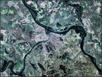
Belgrade Read more
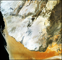
Namib-Naukluft National Park Read more