The Landsat satellite record stretches from 1972 to the present. This gallery includes all Landsat images published on the Earth Observatory, Visible Earth, and Landsat Science web sites from all seven Landsat satellites (Landsats 1-8, Landsat 6 failed to achieve orbit). All of the images are in the public domain and may be used with attribution. The correct attribution for imagery obtained from this site is:
“Landsat imagery courtesy of NASA Goddard Space Flight Center and U.S. Geological Survey” or “USGS/NASA Landsat”
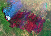
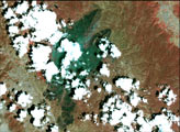
Rodeo and Chediski Fires in Arizona Read more
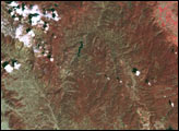
Grizzly Gulch Fire, South Dakota Read more
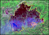
Rodeo-Chediski Fire Read more
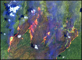
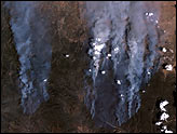
Rocky Mountain Fires Read more
Rocky Mountain Fires Read more
Rodeo and Chediski Fires in Arizona Read more
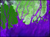
Ganges River Delta Read more
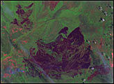
Blackjack Bay Fire in Okefenokee Refuge Read more
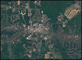
Tornado Hits La Plata, Maryland Read more