The Landsat satellite record stretches from 1972 to the present. This gallery includes all Landsat images published on the Earth Observatory, Visible Earth, and Landsat Science web sites from all seven Landsat satellites (Landsats 1-8, Landsat 6 failed to achieve orbit). All of the images are in the public domain and may be used with attribution. The correct attribution for imagery obtained from this site is:
“Landsat imagery courtesy of NASA Goddard Space Flight Center and U.S. Geological Survey” or “USGS/NASA Landsat”
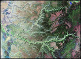
Canyon de Chelly National Monument Read more
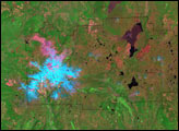
Lassen Volcanic National Park Read more

Dead Sea Read more
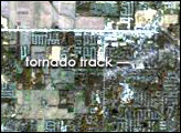
Tornado Track Across Indiana and Kentucky Read more
Lava Beds National Monument Read more
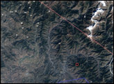
Strong Earthquake in Northern Pakistan Read more
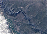
Black Canyon Read more
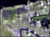
Hurricane Katrina Floods New Orleans Read more
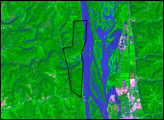
Effigy Mounds National Monument Read more