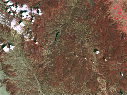
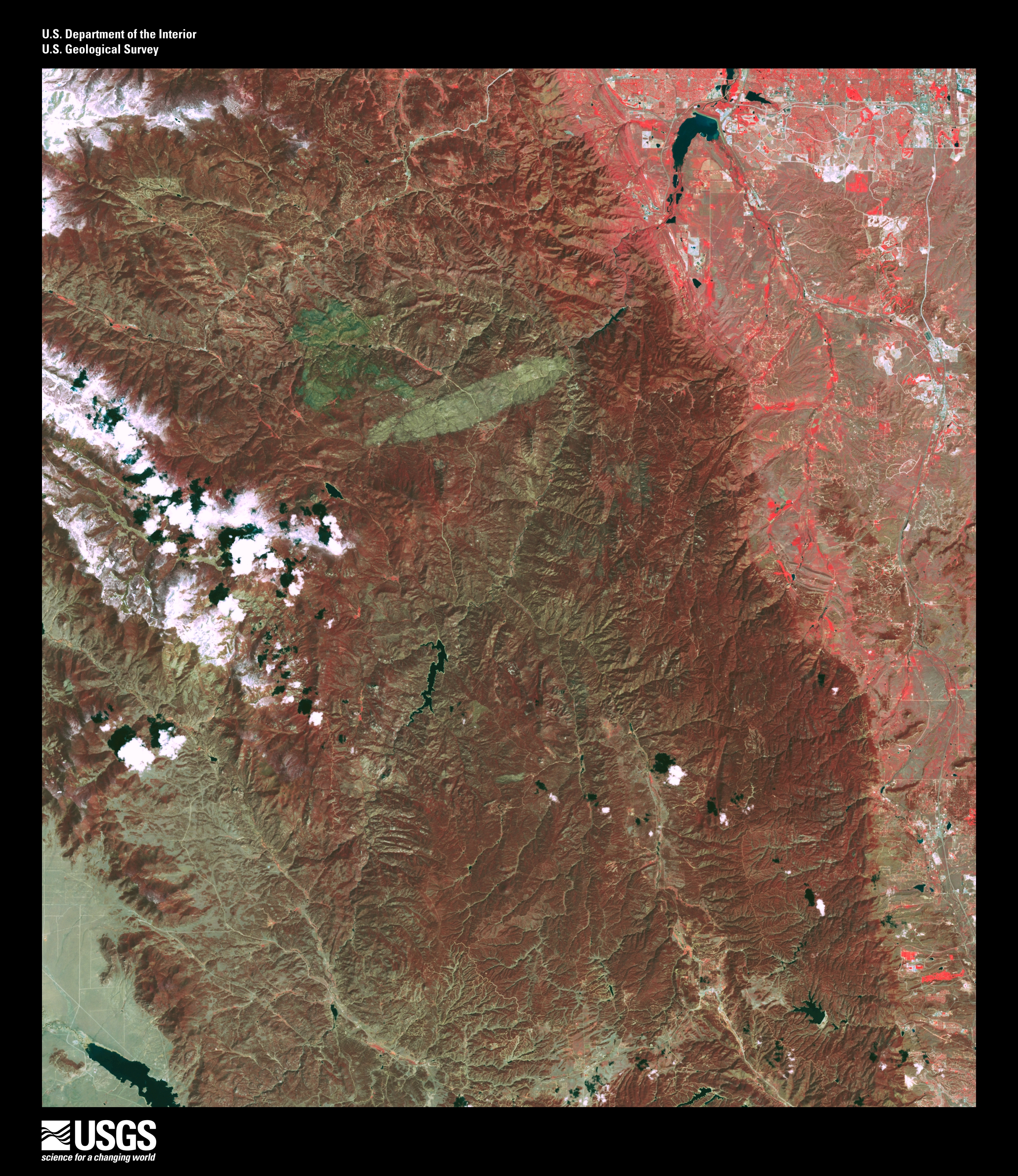
acquired June 1, 2001
Rocky Mountain Fires
Downloads
- landsat_hayman_2001_lrg.jpg (2425x2800, JPEG)
Metadata
- Sensor(s):
- Landsat 7 - ETM+
- Data Date: June 1, 2001
- Visualization Date: June 24, 2002
This Landsat image of the area of the Hayman fire in Colorado was taken in the summer of 2001. Vegetation appears red in the false-color image.
Image provided by the USGS EROS Data Center Satellite Systems Branch
This image record originally appeared on the Earth Observatory. Click here to view the full, original record.