The Landsat satellite record stretches from 1972 to the present. This gallery includes all Landsat images published on the Earth Observatory, Visible Earth, and Landsat Science web sites from all seven Landsat satellites (Landsats 1-8, Landsat 6 failed to achieve orbit). All of the images are in the public domain and may be used with attribution. The correct attribution for imagery obtained from this site is:
“Landsat imagery courtesy of NASA Goddard Space Flight Center and U.S. Geological Survey” or “USGS/NASA Landsat”
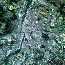
Budapest, Hungary Read more
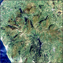
Lake District, England Read more
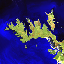
Garig Gunak Barlu National Park Read more
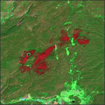
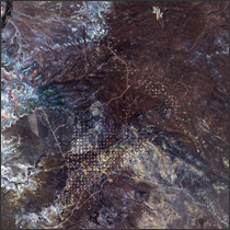
Magpie Fire in Yellowstone National Park Read more
Water Use On Idaho’s Snake River Plain Read more
Jonah Field, Wyoming Read more

Freshwater Stores Shrank in Tigris-Euphrates Basin Read more
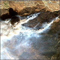
Esperanza Fire, California Read more
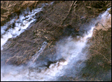
Esperanza Fire in California Read more