The Landsat satellite record stretches from 1972 to the present. This gallery includes all Landsat images published on the Earth Observatory, Visible Earth, and Landsat Science web sites from all seven Landsat satellites (Landsats 1-8, Landsat 6 failed to achieve orbit). All of the images are in the public domain and may be used with attribution. The correct attribution for imagery obtained from this site is:
“Landsat imagery courtesy of NASA Goddard Space Flight Center and U.S. Geological Survey” or “USGS/NASA Landsat”
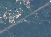
Tornadoes Strike Northern Wisconsin Read more
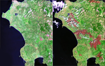
Peloponnesus Peninsula, Greece - Fire Scars Read more
Interstate Bridge Collapses Read more
Mississippi River Bridge Read more
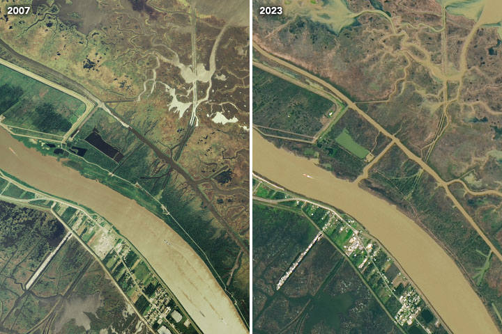
Mardi Gras Pass Read more
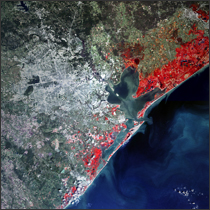
Galveston, Texas Read more
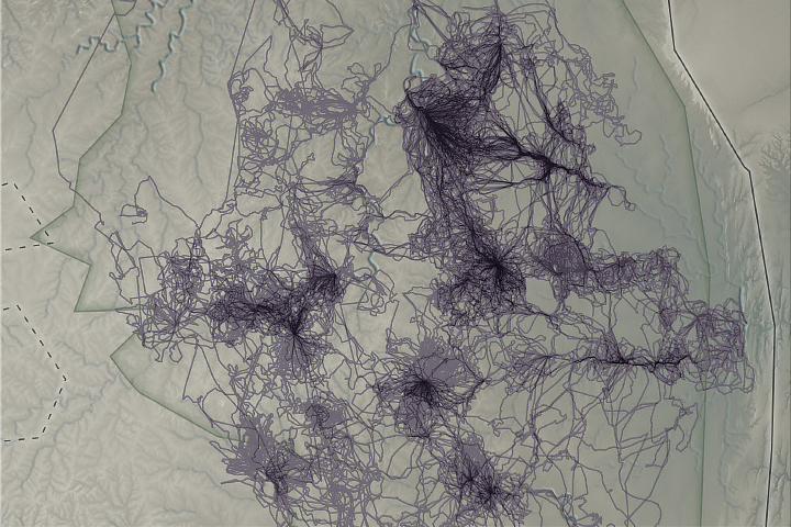
Animals as Earth System Observers Read more
Cyclone Nargis Floods Burma (Myanmar) Read more
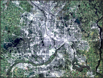
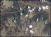
Cedar Rapids Floods Read more