The Landsat satellite record stretches from 1972 to the present. This gallery includes all Landsat images published on the Earth Observatory, Visible Earth, and Landsat Science web sites from all seven Landsat satellites (Landsats 1-8, Landsat 6 failed to achieve orbit). All of the images are in the public domain and may be used with attribution. The correct attribution for imagery obtained from this site is:
“Landsat imagery courtesy of NASA Goddard Space Flight Center and U.S. Geological Survey” or “USGS/NASA Landsat”
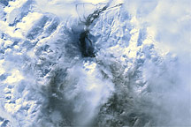
Mt. Redoubt Volcano, Alaska Read more
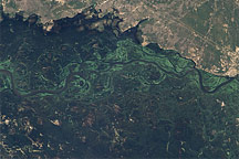
Deadly Flooding in Namibia Read more
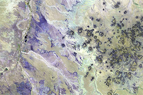
Two Views of the Painted Desert Read more
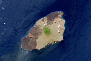
Pinta Island Read more
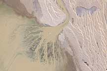
Rare Refill of Lake Eyre, Australia’s Simpson Desert Read more
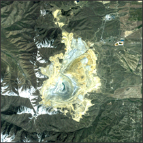
Bingham Copper Mine Read more
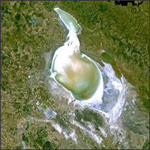
Lake Tuz Read more
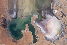
Lake Eyre Filling Peaks Read more
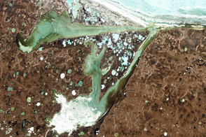
Omulyakhskaya and Khromskaya Bays, Northern Siberia Read more