The Landsat satellite record stretches from 1972 to the present. This gallery includes all Landsat images published on the Earth Observatory, Visible Earth, and Landsat Science web sites from all seven Landsat satellites (Landsats 1-8, Landsat 6 failed to achieve orbit). All of the images are in the public domain and may be used with attribution. The correct attribution for imagery obtained from this site is:
“Landsat imagery courtesy of NASA Goddard Space Flight Center and U.S. Geological Survey” or “USGS/NASA Landsat”
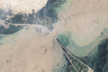
Pakistan Flood 2010 Read more
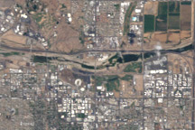
Tempe Town Lake Drain Read more
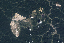
Hobet Mine, West Virginia Read more
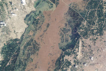
Flooding near Kashmor, Pakistan Read more
Flooding in Pakistan Read more
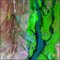
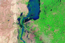
Flooding on the Chenab River, Pakistan Read more
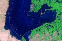
Lingering Floods in Pakistan Read more
Tropical Climate History...Shrinking Read more
Gravel Rivers in Northeastern Italy Read more