The Landsat satellite record stretches from 1972 to the present. This gallery includes all Landsat images published on the Earth Observatory, Visible Earth, and Landsat Science web sites from all seven Landsat satellites (Landsats 1-8, Landsat 6 failed to achieve orbit). All of the images are in the public domain and may be used with attribution. The correct attribution for imagery obtained from this site is:
“Landsat imagery courtesy of NASA Goddard Space Flight Center and U.S. Geological Survey” or “USGS/NASA Landsat”
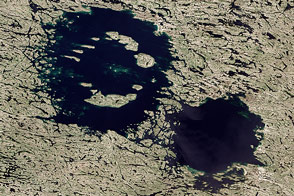
A One-Two Punch Read more

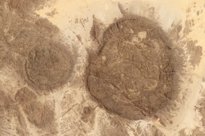
A Polish Royal Forest Read more
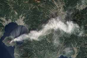
Dense Plume from Sakura-jima Volcano Read more
Aïr and Ténéré Natural Reserves Read more

Wonders in the Antarctic Sea and Sky Read more
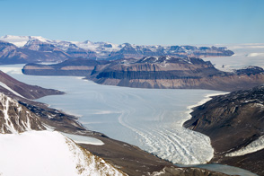
Taylor Valley, Antarctica Read more
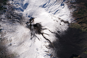
Mount Etna Read more

A Lava Lamp Look at the Atlantic Read more
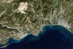
Demre, Turkey Read more