The Landsat satellite record stretches from 1972 to the present. This gallery includes all Landsat images published on the Earth Observatory, Visible Earth, and Landsat Science web sites from all seven Landsat satellites (Landsats 1-8, Landsat 6 failed to achieve orbit). All of the images are in the public domain and may be used with attribution. The correct attribution for imagery obtained from this site is:
“Landsat imagery courtesy of NASA Goddard Space Flight Center and U.S. Geological Survey” or “USGS/NASA Landsat”
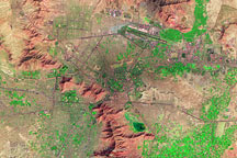
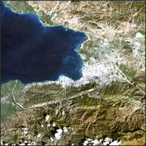
Kabul, Afghanistan Read more
Winter Olympics in Vancouver Read more
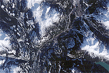
Hole Punch Clouds over West Virginia Read more
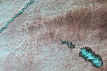
Shrimp Farms Spread in Sinaloa Read more

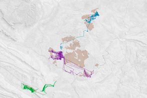
Satellite Mappers Have North America Covered Read more
Feral Cats Forage at Burn Scars Read more
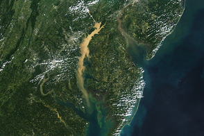
Studying Chesapeake Bay from Above Read more
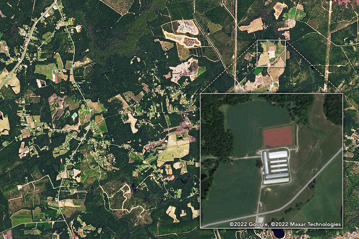
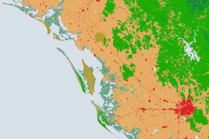
Spotting the Rise of Swine Lagoons Read more
Haiti Earthquake 2010 Read more