The Landsat satellite record stretches from 1972 to the present. This gallery includes all Landsat images published on the Earth Observatory, Visible Earth, and Landsat Science web sites from all seven Landsat satellites (Landsats 1-8, Landsat 6 failed to achieve orbit). All of the images are in the public domain and may be used with attribution. The correct attribution for imagery obtained from this site is:
“Landsat imagery courtesy of NASA Goddard Space Flight Center and U.S. Geological Survey” or “USGS/NASA Landsat”
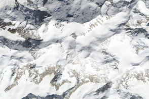
Same Mountain, Different Measurements Read more

Earthquake Births New Island off Pakistan Read more
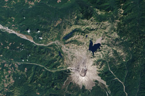
Life Reclaims Mount St. Helens Read more
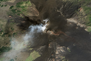
Mount Etna Read more
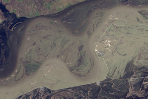
Flooding along the Heilong River Read more
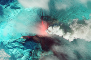
Klyuchevskaya Erupts Read more
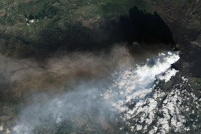
Volcanic Plumes Tower over Mount Etna Read more
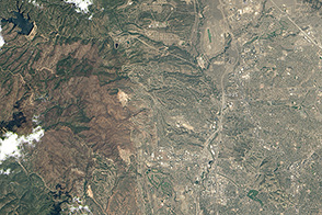
Building in Colorado’s Fire Zone, Part 1 Read more
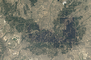
Building in Colorado’s Fire Zone, Part 2 Read more