The Landsat satellite record stretches from 1972 to the present. This gallery includes all Landsat images published on the Earth Observatory, Visible Earth, and Landsat Science web sites from all seven Landsat satellites (Landsats 1-8, Landsat 6 failed to achieve orbit). All of the images are in the public domain and may be used with attribution. The correct attribution for imagery obtained from this site is:
“Landsat imagery courtesy of NASA Goddard Space Flight Center and U.S. Geological Survey” or “USGS/NASA Landsat”
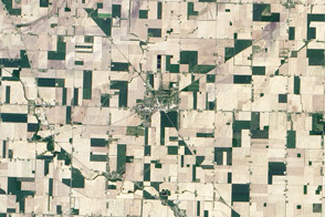
Reese, Michigan Read more
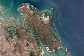
Two Sides of Curtis Island Read more
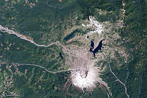
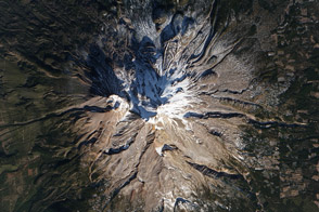
Mount St. Helens from Space, 1979-2011 Read more
The London Array Read more
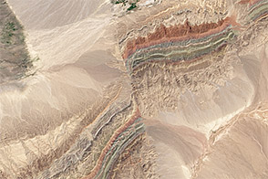
Faults in Xinjiang Read more
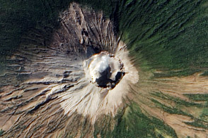
The Naked Mountain Read more
Fresh Ash on San Miguel Volcano Read more
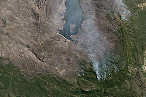
Grampians Fire, Australia Read more
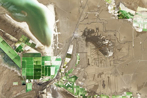
Mineral Mining in China Read more