The Landsat satellite record stretches from 1972 to the present. This gallery includes all Landsat images published on the Earth Observatory, Visible Earth, and Landsat Science web sites from all seven Landsat satellites (Landsats 1-8, Landsat 6 failed to achieve orbit). All of the images are in the public domain and may be used with attribution. The correct attribution for imagery obtained from this site is:
“Landsat imagery courtesy of NASA Goddard Space Flight Center and U.S. Geological Survey” or “USGS/NASA Landsat”
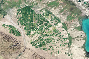
Alluvial Fan in Kazakhstan Read more

Five Volcanoes Erupting at Once Read more
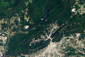
Hot Springs National Park Read more
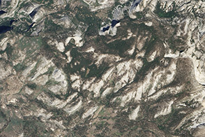
Yosemite’s Granite Read more
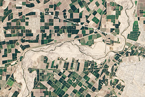
A River Renewed Read more
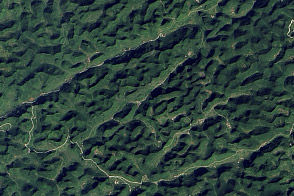
Karst Landscape, China Read more
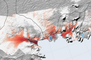
Decline of West Antarctic Glaciers Appears Irreversible Read more
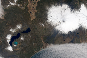
Shishaldin Volcano and Turquoise Lake Read more
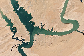
Lake Powell Half Empty Read more