The Landsat satellite record stretches from 1972 to the present. This gallery includes all Landsat images published on the Earth Observatory, Visible Earth, and Landsat Science web sites from all seven Landsat satellites (Landsats 1-8, Landsat 6 failed to achieve orbit). All of the images are in the public domain and may be used with attribution. The correct attribution for imagery obtained from this site is:
“Landsat imagery courtesy of NASA Goddard Space Flight Center and U.S. Geological Survey” or “USGS/NASA Landsat”
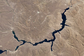
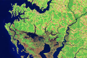
Piedra del Águila Dam Reshapes the Limay River Read more
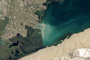
Water: A Precious Resource in the Yanqi Basin Read more
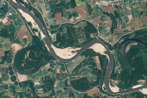
Mississippi River Well Below Normal Read more
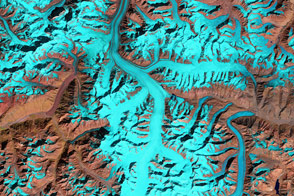
Fedchenko Glacier Read more

Ice Loss on Puncak Jaya Read more
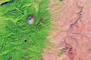
Oregon Rain Shadow Read more
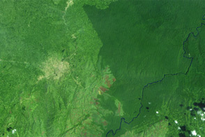
Deforestation in the Democratic Republic of the Congo Read more
Blackwater National Wildlife Refuge Read more
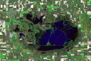
Cheyenne Bottoms in Drought Read more