The Landsat satellite record stretches from 1972 to the present. This gallery includes all Landsat images published on the Earth Observatory, Visible Earth, and Landsat Science web sites from all seven Landsat satellites (Landsats 1-8, Landsat 6 failed to achieve orbit). All of the images are in the public domain and may be used with attribution. The correct attribution for imagery obtained from this site is:
“Landsat imagery courtesy of NASA Goddard Space Flight Center and U.S. Geological Survey” or “USGS/NASA Landsat”
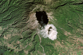
Colima’s Plume Casts a Shadow Read more
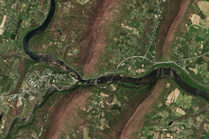
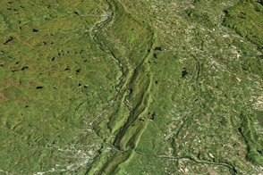
Looking Down on Potomac Water Gap Read more
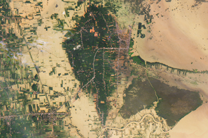
Floods Swamp Southern Thailand Read more
Cambodia’s Forests Are Disappearing Read more
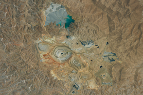
A Copper Megamine in South America Read more
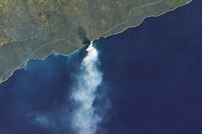
Lava Delta Collapses into Sea Read more
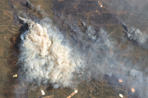
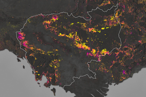
Multiple Fires Blaze in Argentina Read more
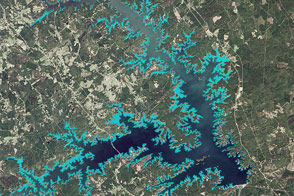
Mapping a Tenacious Invader in Lake Thurmond Read more
Pretty as a Picture: The Delaware Water Gap Read more