The Landsat satellite record stretches from 1972 to the present. This gallery includes all Landsat images published on the Earth Observatory, Visible Earth, and Landsat Science web sites from all seven Landsat satellites (Landsats 1-8, Landsat 6 failed to achieve orbit). All of the images are in the public domain and may be used with attribution. The correct attribution for imagery obtained from this site is:
“Landsat imagery courtesy of NASA Goddard Space Flight Center and U.S. Geological Survey” or “USGS/NASA Landsat”
Minnesota: Land of the Many-Colored Lakes Read more
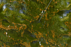
A Blaze of Yellow Read more

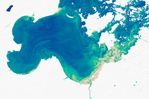
Studying Chesapeake Bay from Above Read more
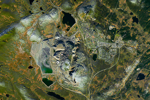
Kiruna Iron Mine Read more

Offshore Wind Farms Make Wakes Read more
Everglades National Park Read more
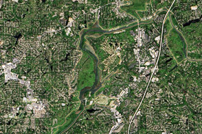
Way Down Yonder on the Chattahoochee Read more
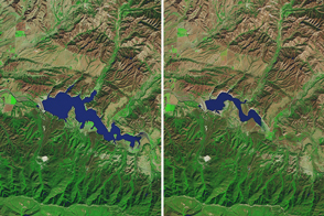
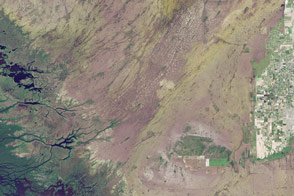
Drought Continues to Grip Southern California Read more
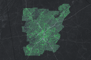
Atlanta Harnesses Green Space to Fight Wastewater Read more