The Landsat satellite record stretches from 1972 to the present. This gallery includes all Landsat images published on the Earth Observatory, Visible Earth, and Landsat Science web sites from all seven Landsat satellites (Landsats 1-8, Landsat 6 failed to achieve orbit). All of the images are in the public domain and may be used with attribution. The correct attribution for imagery obtained from this site is:
“Landsat imagery courtesy of NASA Goddard Space Flight Center and U.S. Geological Survey” or “USGS/NASA Landsat”
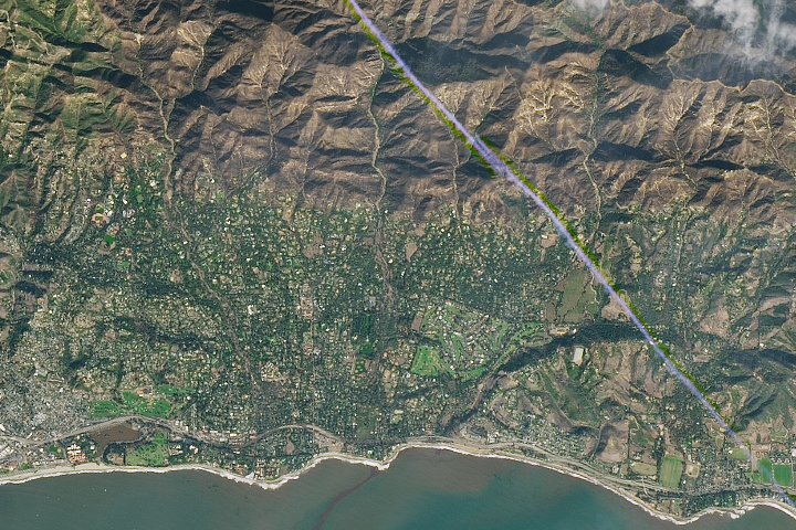
Deadly Debris Flows in Montecito Read more
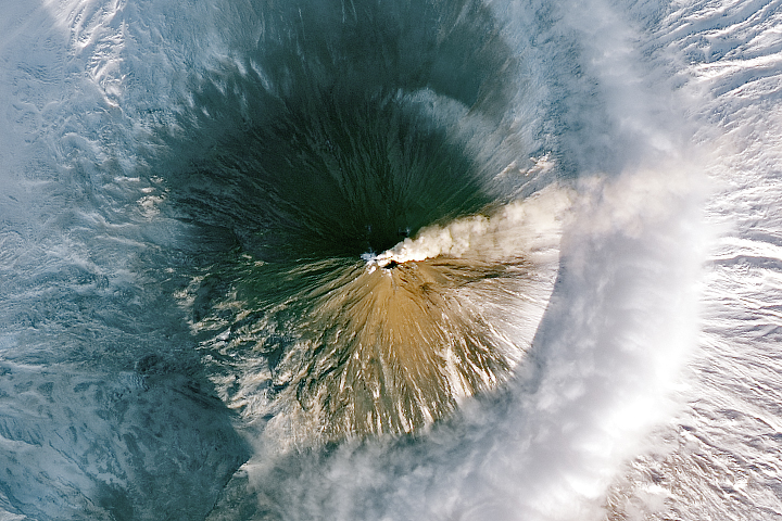
Plumes Over the Kamchatka Peninsula Read more
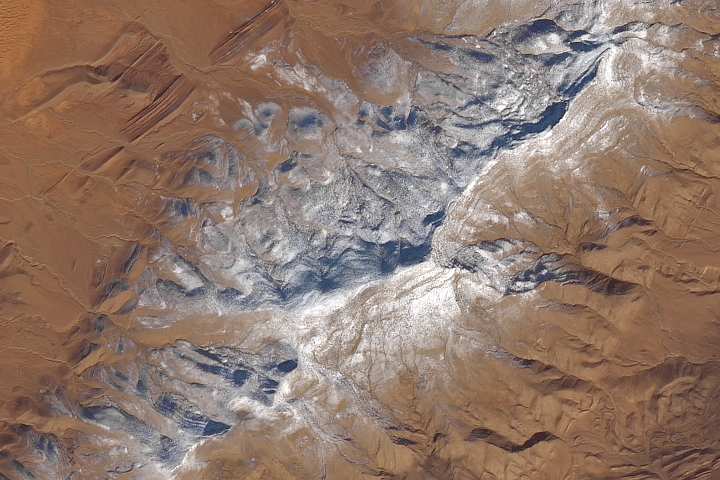
A Dusting of White in the Sahara Read more
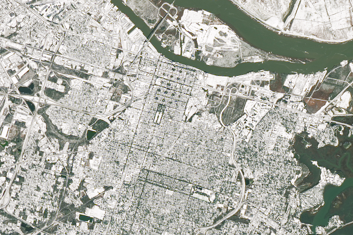
Snow in Savannah Read more
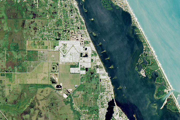
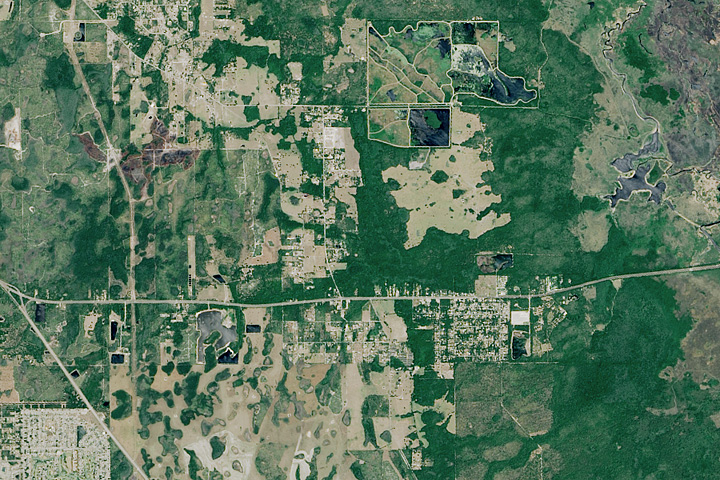
A Haven For Snowbirds Read more
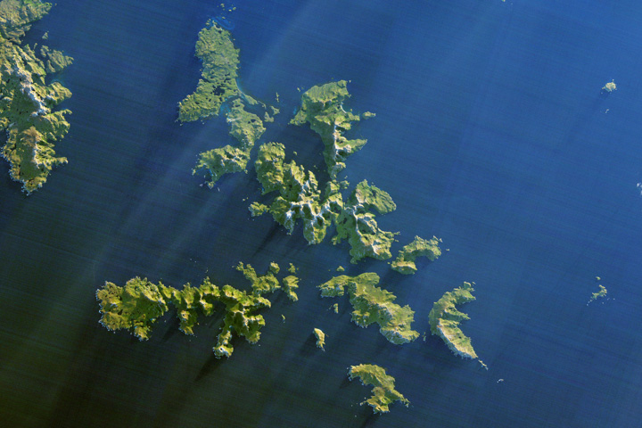
Cape Horn: A Mariner’s Nightmare Read more
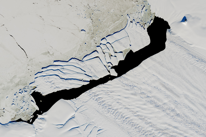
Pine Island Iceberg Under the Midnight Sun Read more

California’s December Inferno Read more
Where It’s Christmas Every Day Read more