The Landsat satellite record stretches from 1972 to the present. This gallery includes all Landsat images published on the Earth Observatory, Visible Earth, and Landsat Science web sites from all seven Landsat satellites (Landsats 1-8, Landsat 6 failed to achieve orbit). All of the images are in the public domain and may be used with attribution. The correct attribution for imagery obtained from this site is:
“Landsat imagery courtesy of NASA Goddard Space Flight Center and U.S. Geological Survey” or “USGS/NASA Landsat”
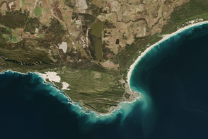
The Treacherous and Productive Seas of Southern Africa Read more
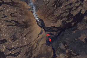
Fissure Eruptions on Erta Ale Read more
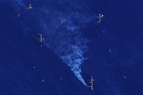
Gas Flares in the Gulf Read more
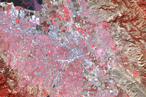
A Clearer View of Silicon Valley Read more
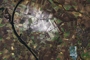
The Curious Incident of Snow in The Netherlands Read more
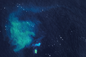
Underwater Eruption Near Tongatapu Read more
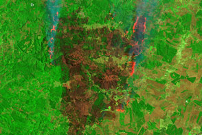
Satellites Capture Different Views of Devastating Fires in Chile Read more
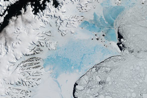
Antarctica’s Changing Larsen Ice Shelf Read more
New Zealand: Where River and Winds Weave Read more