The Landsat satellite record stretches from 1972 to the present. This gallery includes all Landsat images published on the Earth Observatory, Visible Earth, and Landsat Science web sites from all seven Landsat satellites (Landsats 1-8, Landsat 6 failed to achieve orbit). All of the images are in the public domain and may be used with attribution. The correct attribution for imagery obtained from this site is:
“Landsat imagery courtesy of NASA Goddard Space Flight Center and U.S. Geological Survey” or “USGS/NASA Landsat”
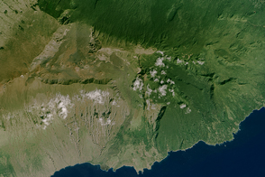
House of the Sun Read more
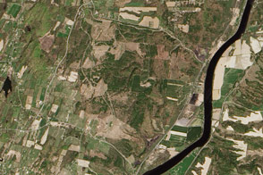
Memorial Day at Saratoga Read more
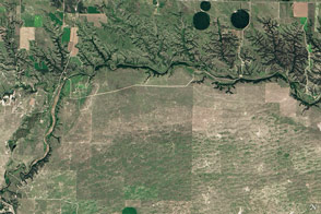
Niobrara National Scenic River Read more

Visualizing the Highs and Lows of Lake Mead Read more
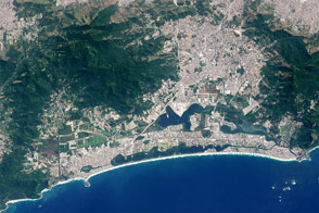
Rio de Janeiro: A Changing City Read more
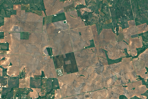
Texas: An Energy Powerhouse Read more
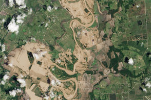
Floodwaters Inundate Southeastern Texas Read more
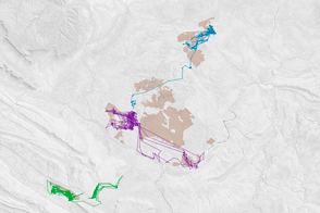
Feral Cats Forage at Burn Scars Read more
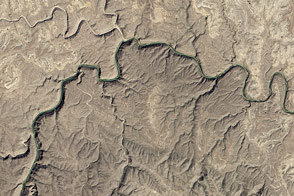
Lower Canyons of the Rio Grande Read more