The Landsat satellite record stretches from 1972 to the present. This gallery includes all Landsat images published on the Earth Observatory, Visible Earth, and Landsat Science web sites from all seven Landsat satellites (Landsats 1-8, Landsat 6 failed to achieve orbit). All of the images are in the public domain and may be used with attribution. The correct attribution for imagery obtained from this site is:
“Landsat imagery courtesy of NASA Goddard Space Flight Center and U.S. Geological Survey” or “USGS/NASA Landsat”
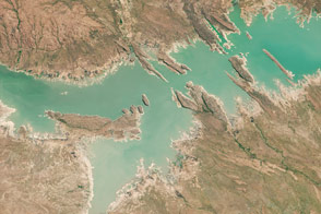
The Ring Around Lago de Cahora Bassa Read more
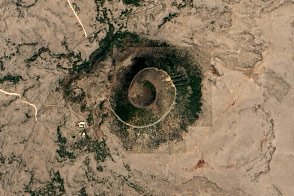
Capulin Volcano National Monument Read more
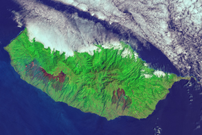
Fires Char Madeira Read more
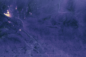
Blue Cut Fire at Night Read more
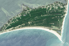
Cape Hatteras National Seashore Read more
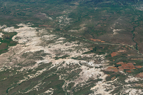
Badlands National Park Read more
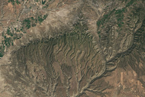
Mesa Verde National Park Read more
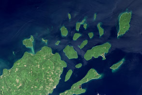
Apostle Islands National Lakeshore Read more
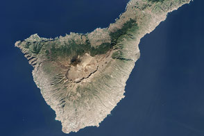
Tenerife, Canary Islands Read more