The Landsat satellite record stretches from 1972 to the present. This gallery includes all Landsat images published on the Earth Observatory, Visible Earth, and Landsat Science web sites from all seven Landsat satellites (Landsats 1-8, Landsat 6 failed to achieve orbit). All of the images are in the public domain and may be used with attribution. The correct attribution for imagery obtained from this site is:
“Landsat imagery courtesy of NASA Goddard Space Flight Center and U.S. Geological Survey” or “USGS/NASA Landsat”
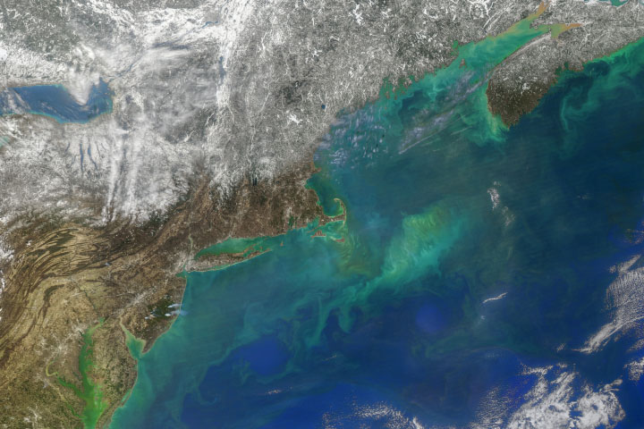
Hints of Spring in the Atlantic Read more
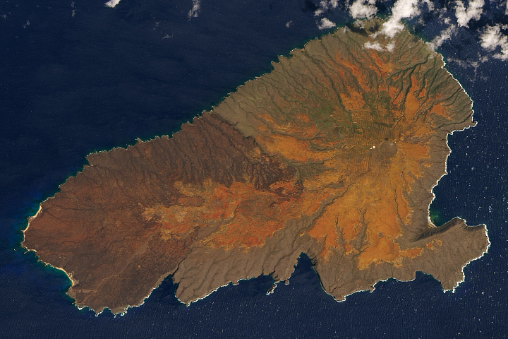
Healing Scars at Kaho’olawe Read more
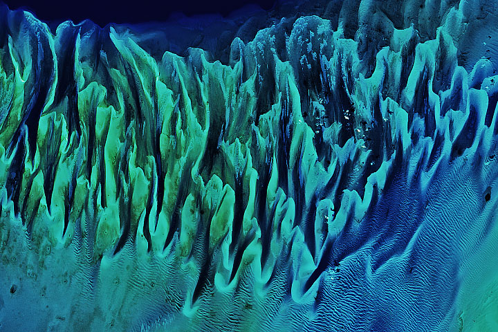
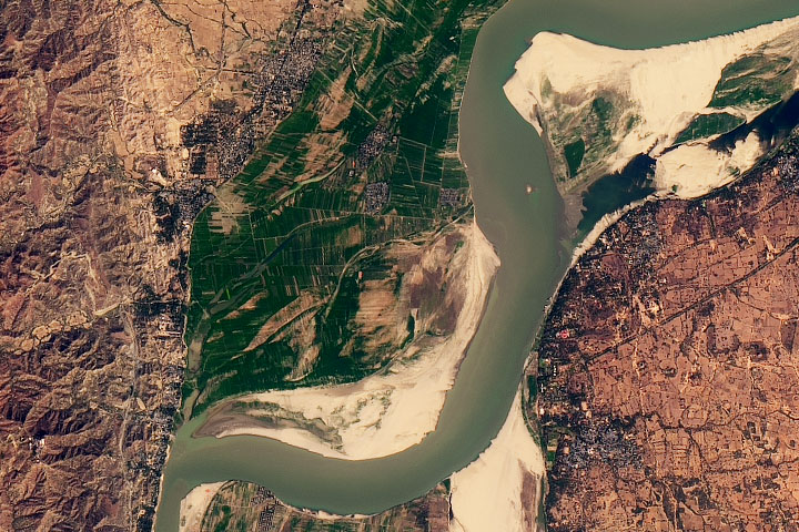
Still Sandy After All These Years Read more
Israel’s Heart-Shaped Crater Read more
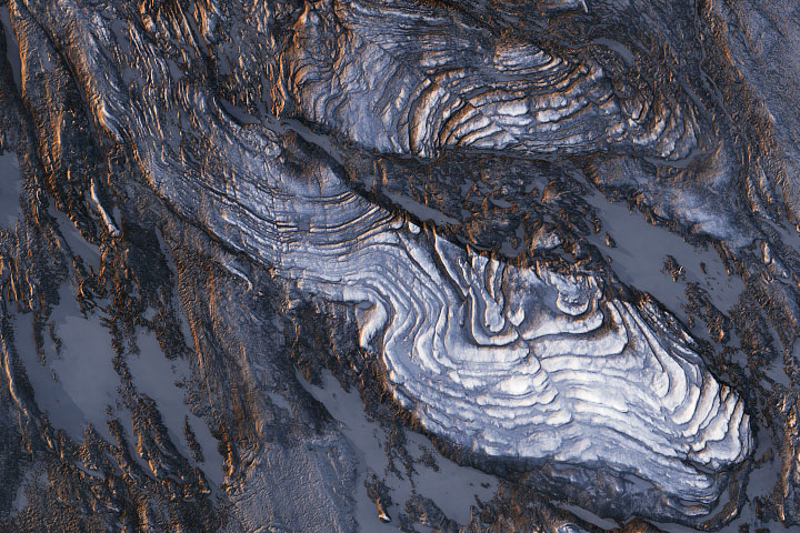
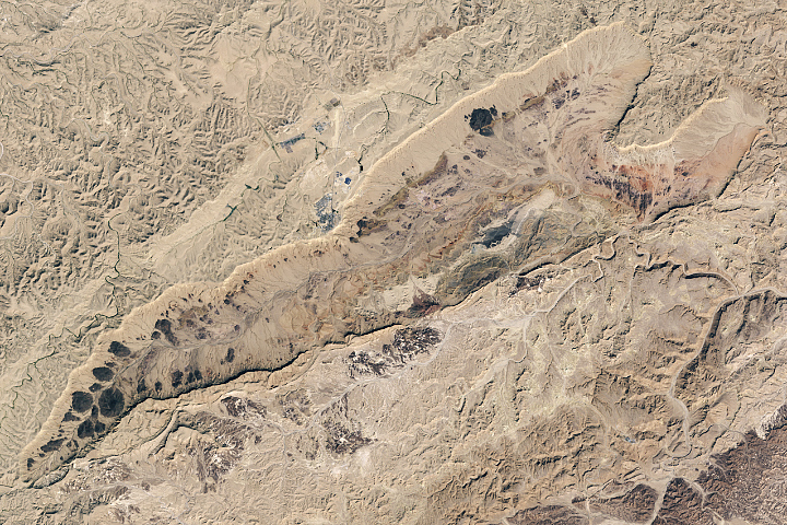
Phenomenal Faults and Folds Read more
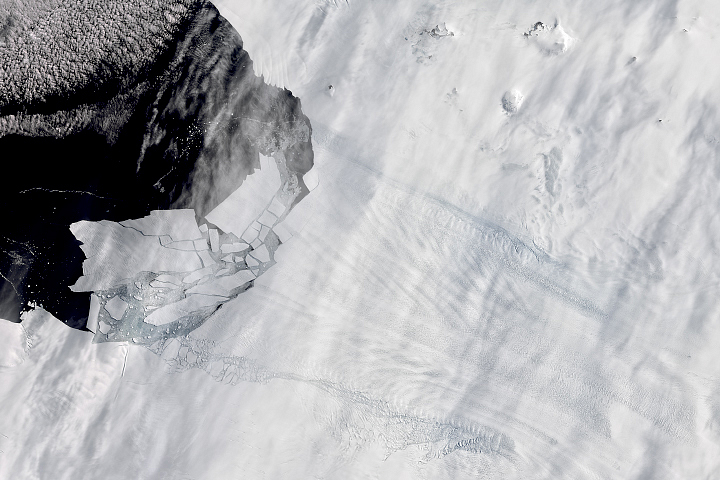
Pine Island Glacier’s Newest Iceberg Read more
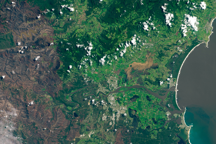
Extreme Rain Douses Fires, Causes Floods in Australia Read more
The Land of Ten Thousand Temples Read more

Antarctica Melts Under Its Hottest Days on Record Read more