The Landsat satellite record stretches from 1972 to the present. This gallery includes all Landsat images published on the Earth Observatory, Visible Earth, and Landsat Science web sites from all seven Landsat satellites (Landsats 1-8, Landsat 6 failed to achieve orbit). All of the images are in the public domain and may be used with attribution. The correct attribution for imagery obtained from this site is:
“Landsat imagery courtesy of NASA Goddard Space Flight Center and U.S. Geological Survey” or “USGS/NASA Landsat”
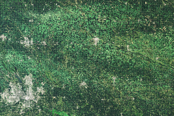
Derecho Flattens Iowa Corn Read more
Nishinoshima Belches Ash and Lava Read more

Coloring the Great Salt Lake Read more
On This Day in 2020: Nishinoshima Belches Read more
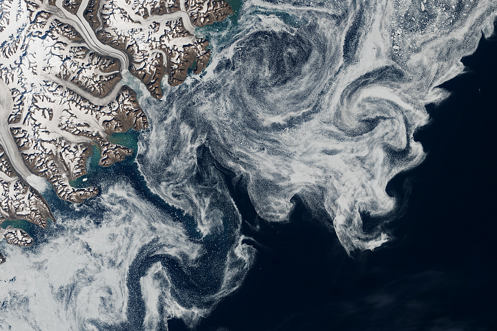
Sea Ice in Denmark Strait Read more
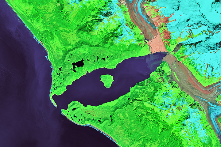
Outburst at Desolation Lake Read more
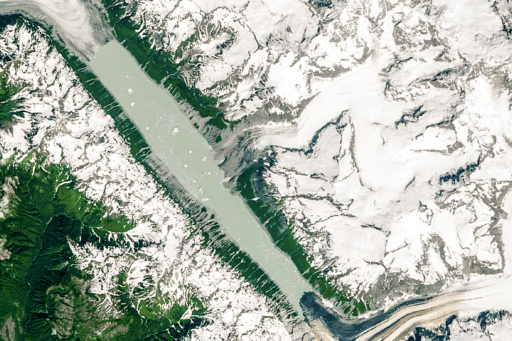
Lituya Bay’s Apocalyptic Wave Read more
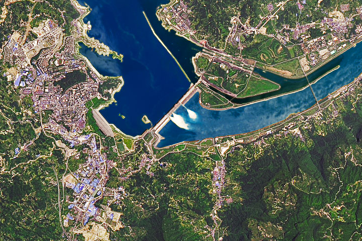
Yangtze Dams Spill Water Read more
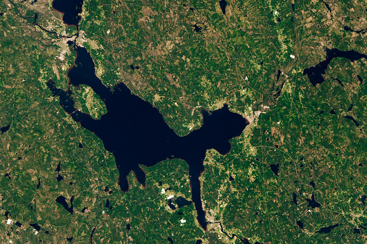
Sweden’s Siljan Ring Read more