The Landsat satellite record stretches from 1972 to the present. This gallery includes all Landsat images published on the Earth Observatory, Visible Earth, and Landsat Science web sites from all seven Landsat satellites (Landsats 1-8, Landsat 6 failed to achieve orbit). All of the images are in the public domain and may be used with attribution. The correct attribution for imagery obtained from this site is:
“Landsat imagery courtesy of NASA Goddard Space Flight Center and U.S. Geological Survey” or “USGS/NASA Landsat”
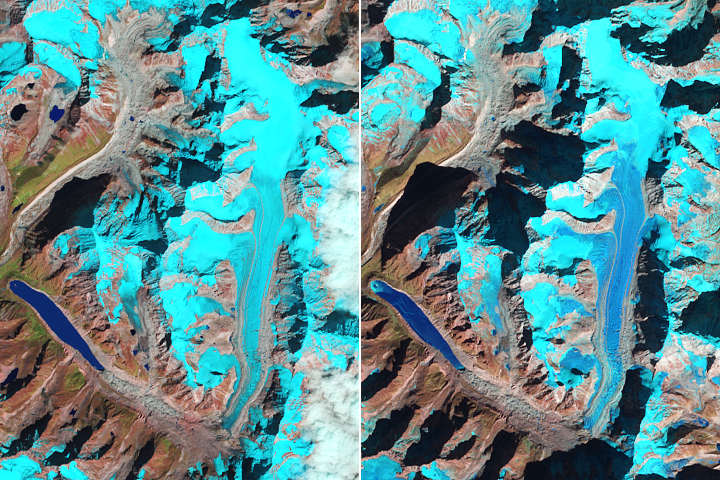
Snow-Free Glaciers in Winter Read more
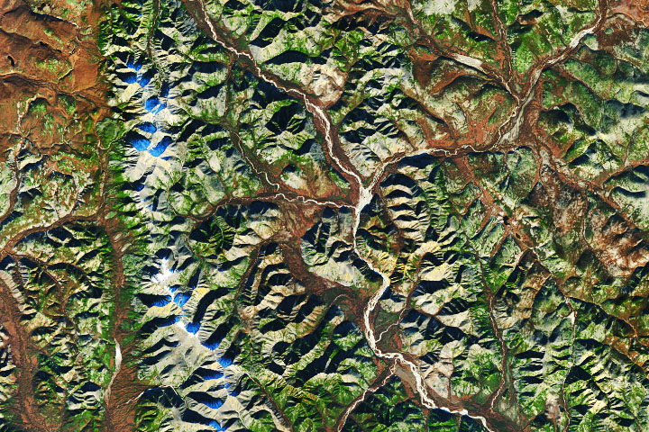
Winter is Coming Read more
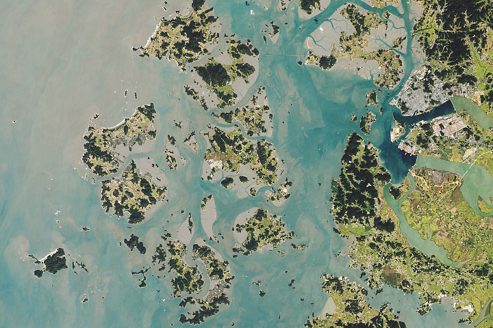
A Thousand Islands in South Korea Read more
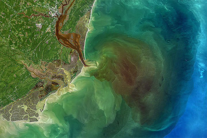
Stained Winyah Bay Read more
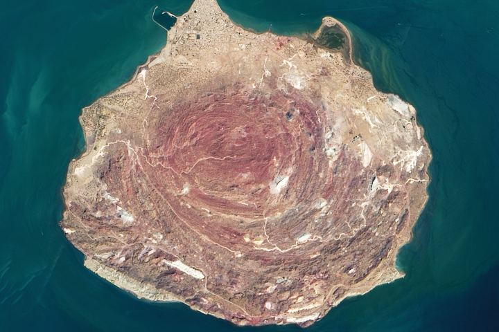
Iran’s Rainbow Island Read more
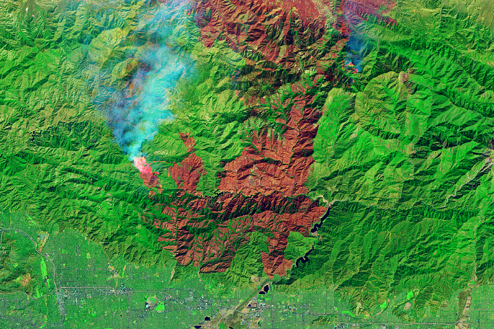
Bobcat Fire Scorches Southern California Read more
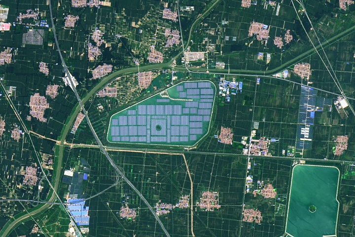
Solar Takes a Swim Read more
Rebounding in Hudson Bay Read more
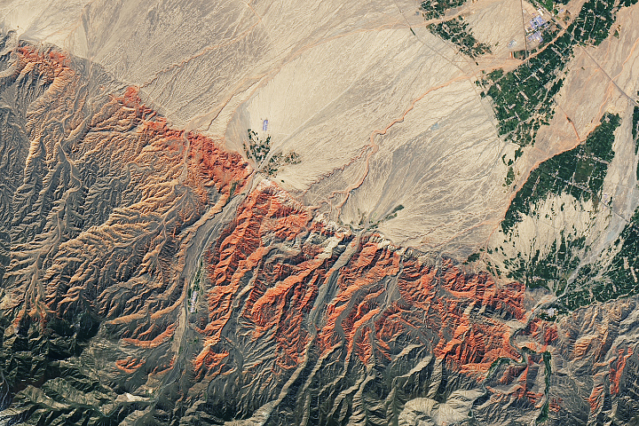
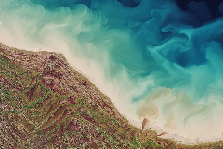
Red Rocks and Rainbow Ridges Read more