The Landsat satellite record stretches from 1972 to the present. This gallery includes all Landsat images published on the Earth Observatory, Visible Earth, and Landsat Science web sites from all seven Landsat satellites (Landsats 1-8, Landsat 6 failed to achieve orbit). All of the images are in the public domain and may be used with attribution. The correct attribution for imagery obtained from this site is:
“Landsat imagery courtesy of NASA Goddard Space Flight Center and U.S. Geological Survey” or “USGS/NASA Landsat”
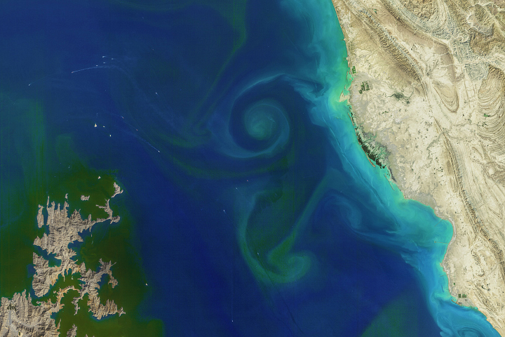
A Bloom in the Strait of Hormuz Read more

All Eyes on Tonga’s Kingdom of Volcanoes Read more
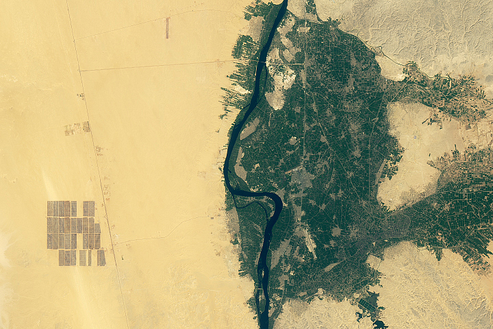
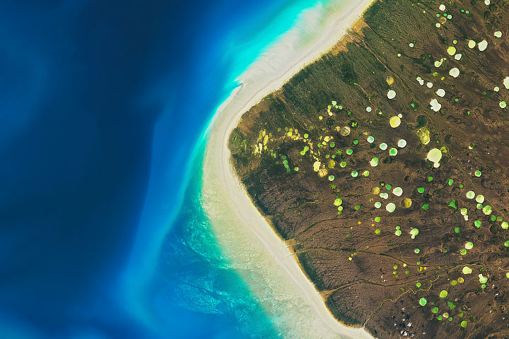
Catching Rays in the Desert Read more
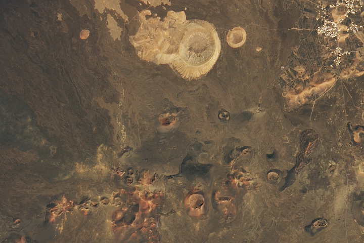
Lanzarote’s Lunar-Like Landscape Read more
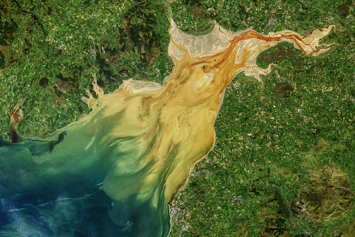
Sediment Sloshes in Solway Firth Read more
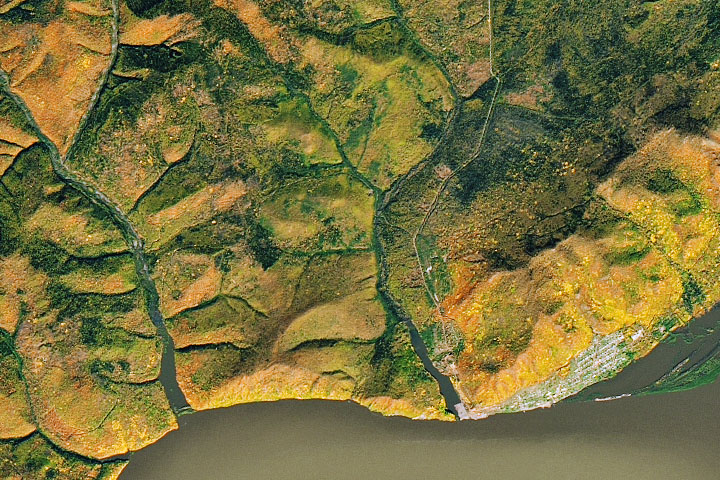
Autumn Along the Amur Read more
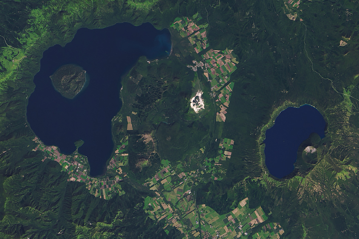
Parasitic Cones in Hokkaido Read more
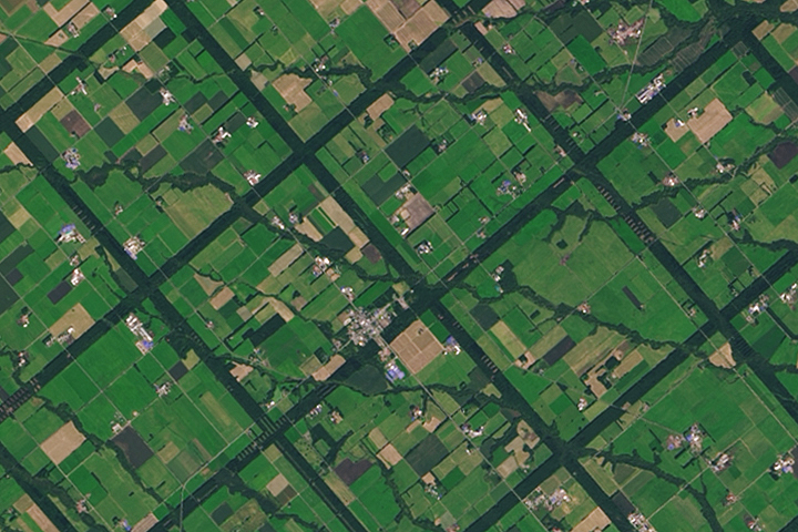
A Windbreak Grid in Hokkaido Read more
Where the Geese Gather Read more