The Landsat satellite record stretches from 1972 to the present. This gallery includes all Landsat images published on the Earth Observatory, Visible Earth, and Landsat Science web sites from all seven Landsat satellites (Landsats 1-8, Landsat 6 failed to achieve orbit). All of the images are in the public domain and may be used with attribution. The correct attribution for imagery obtained from this site is:
“Landsat imagery courtesy of NASA Goddard Space Flight Center and U.S. Geological Survey” or “USGS/NASA Landsat”
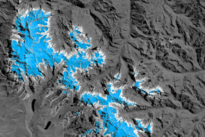
Glacier Change Threatens Andes Communities Read more

Retreat of Alaska’s Columbia Glacier Read more
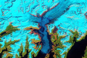
Retreat of Alaska’s Columbia Glacier Read more
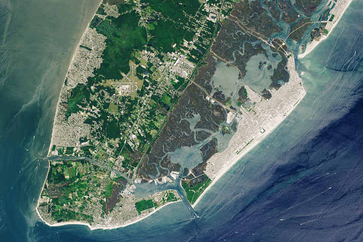
NASA Returns to the Beach: Wide Wildwood Beaches Read more

Wide Wildwood Beaches Read more
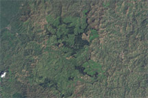
Gishwati Forest, Rwanda Read more
Satellites Track Yellowstone’s Underground Heat Read more
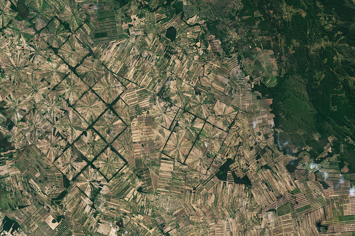
Patterns of Forest Change in Bolivia Read more
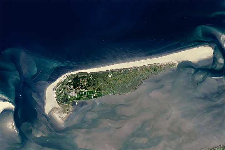
NASA Returns to the Beach: Taking Stock of Sandy Beaches Read more