The Landsat satellite record stretches from 1972 to the present. This gallery includes all Landsat images published on the Earth Observatory, Visible Earth, and Landsat Science web sites from all seven Landsat satellites (Landsats 1-8, Landsat 6 failed to achieve orbit). All of the images are in the public domain and may be used with attribution. The correct attribution for imagery obtained from this site is:
“Landsat imagery courtesy of NASA Goddard Space Flight Center and U.S. Geological Survey” or “USGS/NASA Landsat”
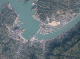
Three Gorges Dam, China Read more

Fog in Argentina’s Lake District Read more
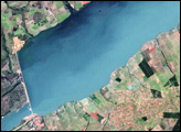
Porto Primavera Reservoir, Brazil Read more
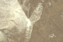
Bou Craa, Western Sahara Read more
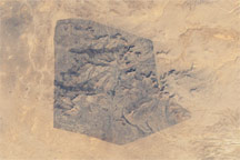
Sidi Toui National Park, Tunisia Read more
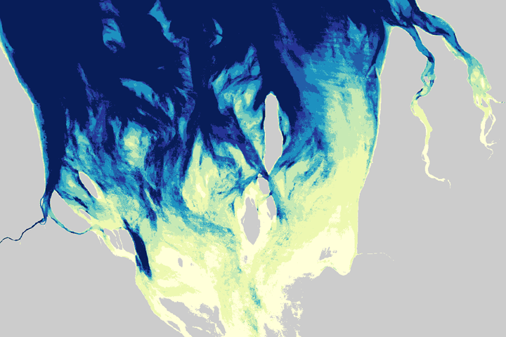
Tracking the Hide-and-Seek Game Between Beaches and Tides Read more
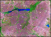
Urbanization of Ouagadougou, Burkina Faso Read more
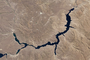
Piedra del Águila Dam Reshapes the Limay River Read more
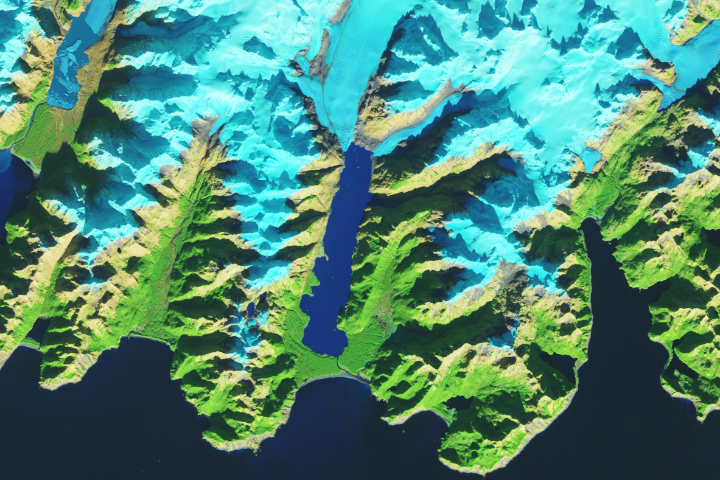
A Bit Less Excelsior Read more