The Landsat satellite record stretches from 1972 to the present. This gallery includes all Landsat images published on the Earth Observatory, Visible Earth, and Landsat Science web sites from all seven Landsat satellites (Landsats 1-8, Landsat 6 failed to achieve orbit). All of the images are in the public domain and may be used with attribution. The correct attribution for imagery obtained from this site is:
“Landsat imagery courtesy of NASA Goddard Space Flight Center and U.S. Geological Survey” or “USGS/NASA Landsat”
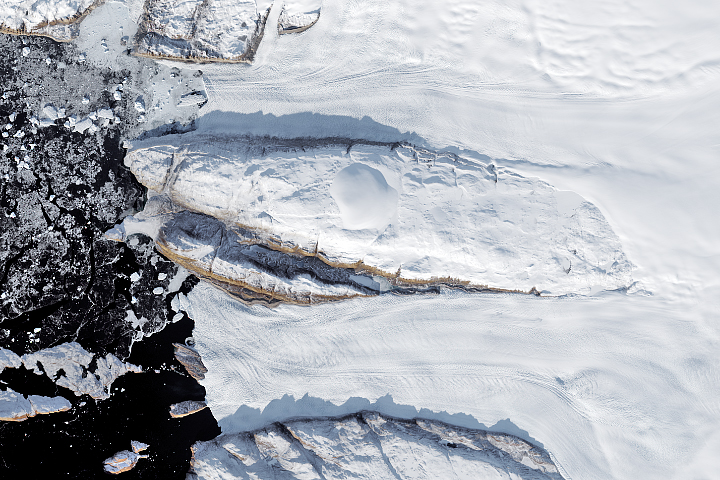
Decline of Two Glaciers in Northwest Greenland Read more
Retreat of Novatak and East Novatak Glacier Read more
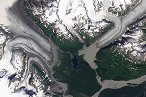
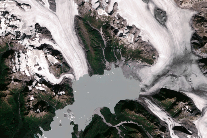
Retreat of Yakutat Glacier Read more
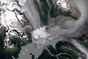
Watching a Glacier Die Read more
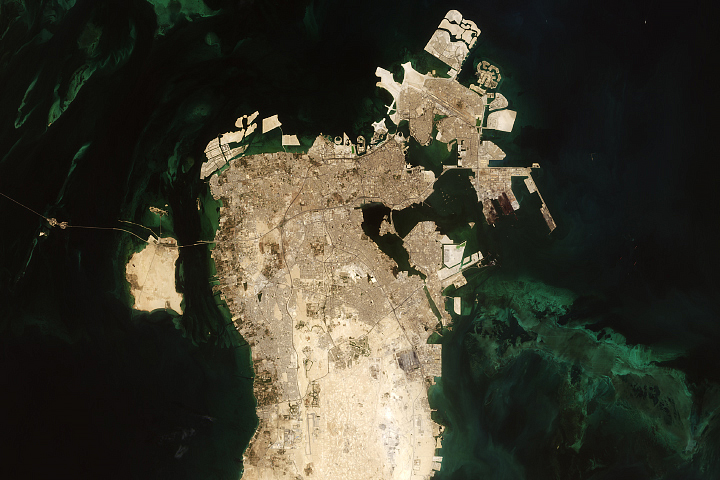
Building Bahrain Read more
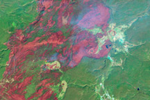
Yellowstone Recovers from 1988 Fires Read more
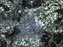
Berlin Wall Read more
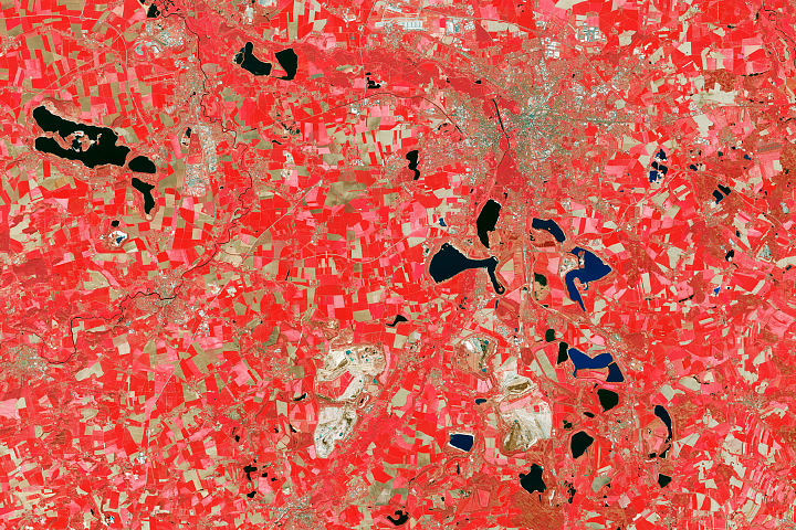
From Mine District to Lake District Read more
A Divided City Read more