The Landsat satellite record stretches from 1972 to the present. This gallery includes all Landsat images published on the Earth Observatory, Visible Earth, and Landsat Science web sites from all seven Landsat satellites (Landsats 1-8, Landsat 6 failed to achieve orbit). All of the images are in the public domain and may be used with attribution. The correct attribution for imagery obtained from this site is:
“Landsat imagery courtesy of NASA Goddard Space Flight Center and U.S. Geological Survey” or “USGS/NASA Landsat”
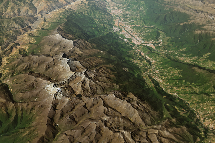
Last Glacier Standing in Venezuela Read more
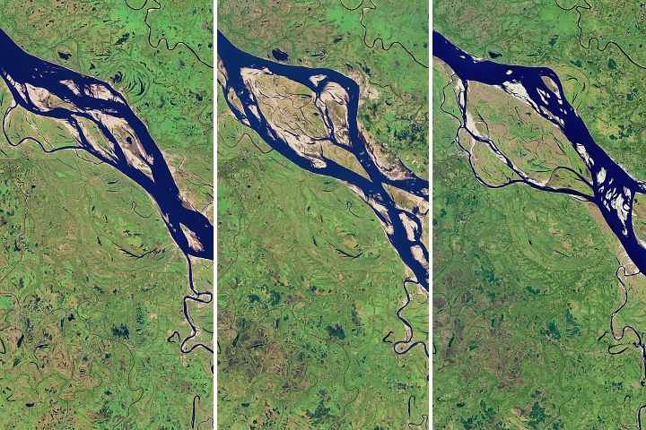
The Most Erosive Area on the Padma Read more
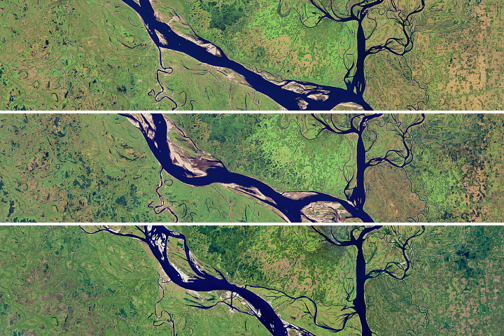
Meandering Bends of the Lower Padma River Read more
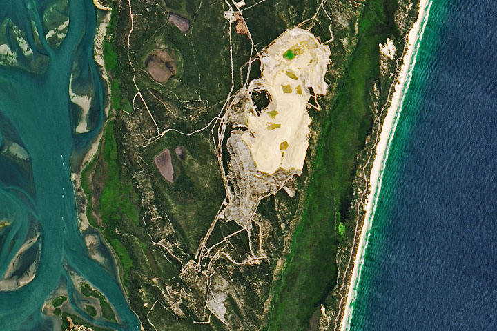
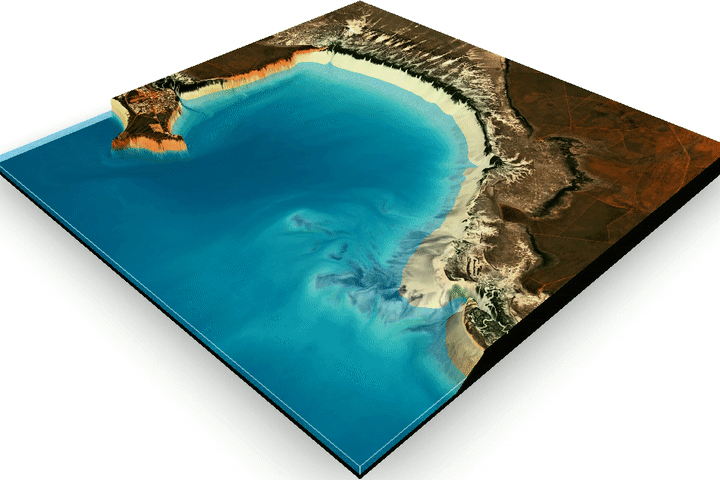
Saving Straddie’s Sand Read more

Obersulzbach Glacier Plus Four Read more
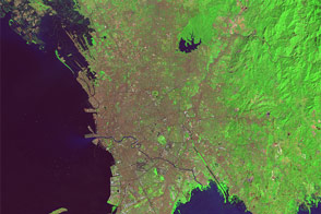
The Growth of Manila Read more
Mapping the Land Between the Tides Read more
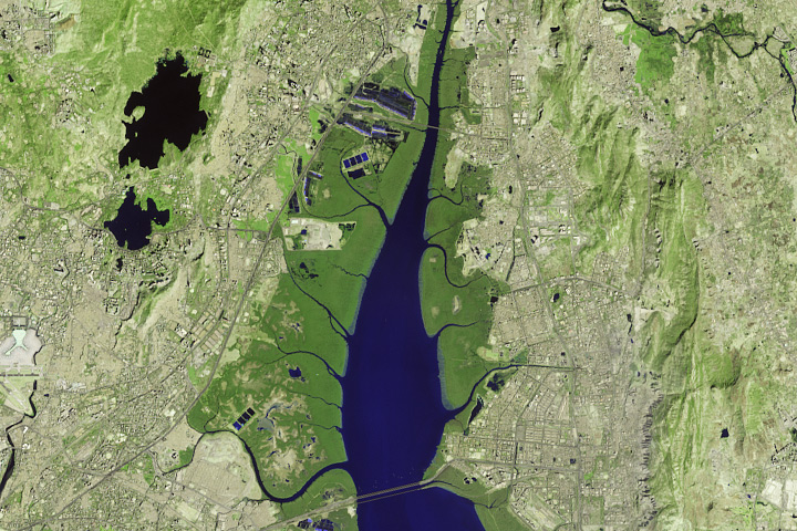
Monitoring Mumbai’s Mangroves Read more
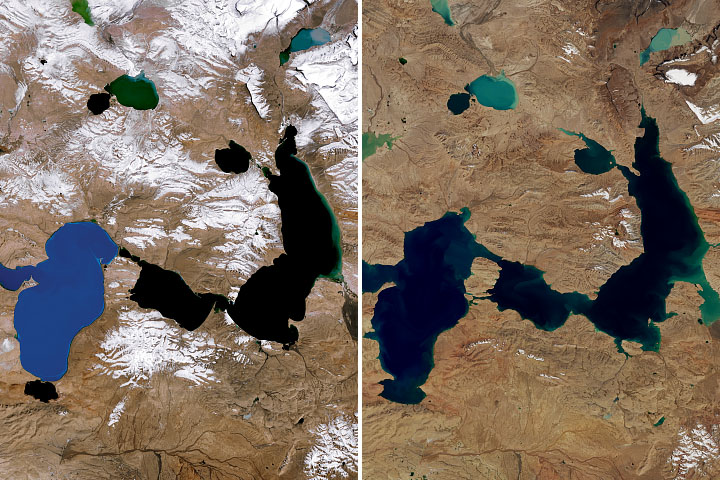
Shrinking Glaciers and Growing Lakes Read more